Blue Knob State Park, State park in Bedford County, Pennsylvania, US
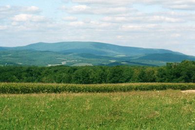
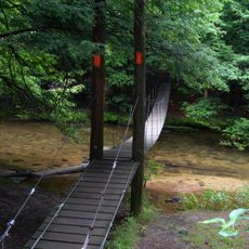
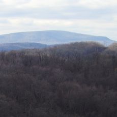
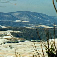
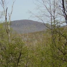
Blue Knob State Park is a mountain park in Bedford County, Pennsylvania, centered on one of the highest peaks in the state. It covers forested ridges and includes camping areas with electrical hookups, picnic zones, and a network of hiking trails throughout.
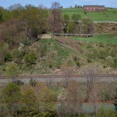
German settlers moved into the region after the American Revolution and built sawmills, gristmills, and distilleries in the valleys around the mountain. Their presence shaped how the land was used for generations before it became a public park.
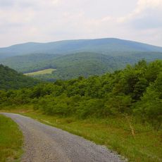
Some of the trails in the park follow the path of old railroad grades that were once used to haul timber down the mountain. The steady slopes and gentle curves of these routes are still visible in the shape of the terrain today.
The park is reached by secondary roads, with parking available near the picnic areas and campground. Hiking is best from spring through autumn, and winter visitors should come prepared for heavy snow and cold conditions on the mountain.
Blue Knob is one of the snowiest spots in Pennsylvania, receiving around 10 feet (3 meters) of snow each year, which is unusually high for the eastern part of the state. This makes the park one of the few places in the region where a full ski season is reliably possible.
The community of curious travelers
AroundUs brings together thousands of curated places, local tips, and hidden gems, enriched daily by 60,000 contributors worldwide.