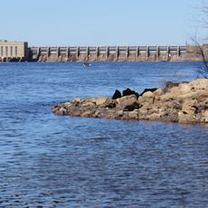
Roche-a-Cri State Park, State park in Adams County, Wisconsin, US
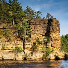
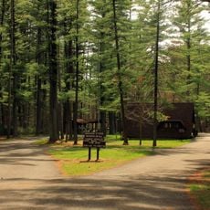
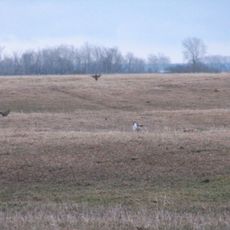
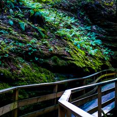
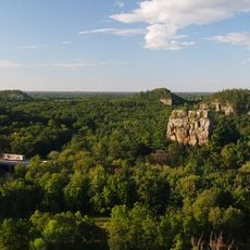
Roche-a-Cri State Park is a Wisconsin state park in Adams County built around a large sandstone formation that rises well above the flat surrounding land. Stairs are cut into the rock to allow visitors to reach the top, while trails through oak and pine forest wind across the rest of the grounds.
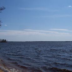
The sandstone formation took shape during the last ice age, when a vast glacial lake covered this region and the rock stood as an isolated rise above the water. The park was set aside in 1948 to protect both the formation and the carvings on its surface.
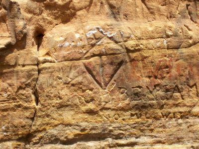
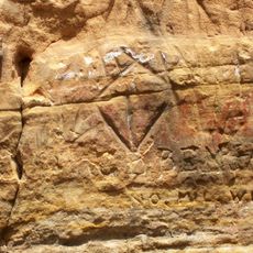
The rock face carries carvings left by Indigenous peoples who lived in this region for thousands of years. Visitors who climb to the top can see these figures and symbols etched directly into the sandstone surface.
The park has several hiking trails at different difficulty levels, including the staircase climb up the rock, which requires some physical effort. Sturdy footwear is a good idea, and visitors should plan for weather changes during their time on the trails.
The park's name comes from a French phrase meaning "rock with marks," reflecting the contact between French explorers and Indigenous peoples in the region. The carvings that gave the place its name are still visible on the rock face today.
The community of curious travelers
AroundUs brings together thousands of curated places, local tips, and hidden gems, enriched daily by 60,000 contributors worldwide.