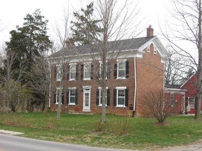
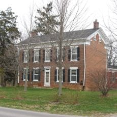
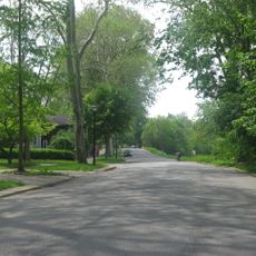
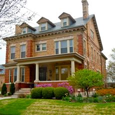
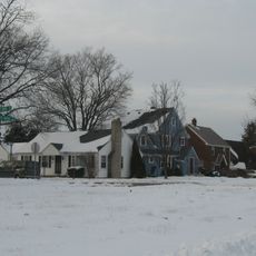
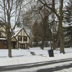
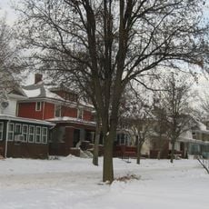
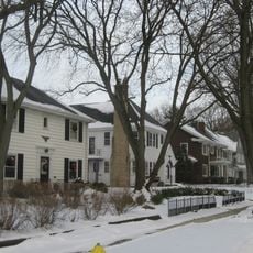
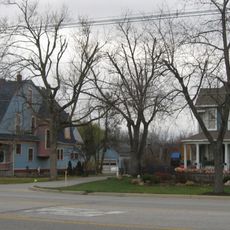
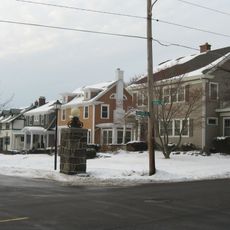
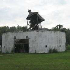
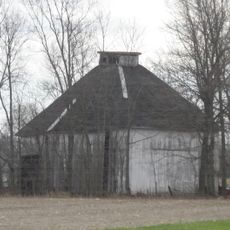
Root Township, township in Adams County, Indiana
Location: Adams County
Elevation above the sea: 248 m
GPS coordinates: 40.87889,-84.94222
Latest update: March 3, 2025 05:37
Nickel Plate Road 765
23.3 km
Ouabache State Park
22.6 km
Richardville House
25.2 km
Fort Wayne Moraine
14.3 km
Lenhart Farmhouse
4.1 km
Fort Wayne Park and Boulevard System Historic District
24.1 km
Fairfield Manor
26.7 km
St. Louis, Besancon, Historic District
19.1 km
Peace Monument
5.7 km
St. Peter's Square
26.1 km
Adams County Courthouse
5.7 km
Williams-Woodland Park Historic District
26.4 km
Southwood Park Historic District
25.1 km
Illsley Place-West Rudisill Historic District
26.1 km
Stewart-Studebaker House
25.1 km
Charles Dugan House
5.5 km
Lafayette Place Historic District
24.4 km
Wells County Courthouse
24.8 km
South Wayne Historic District
26.3 km
Bethel Methodist Episcopal Church
25.8 km
Foster Park Neighborhood Historic District
26 km
Blackstone Building
26.9 km
Villa North Historic District
23.9 km
Oakdale Historic District
25.9 km
Harry A. Keplinger House
26.5 km
Round Barn
15.4 km
Ben Colter Polygonal Barn
12.4 km
John S. Bowers House
5.2 kmReviews
Visited this place? Tap the stars to rate it and share your experience / photos with the community! Try now! You can cancel it anytime.
Discover hidden gems everywhere you go!
From secret cafés to breathtaking viewpoints, skip the crowded tourist spots and find places that match your style. Our app makes it easy with voice search, smart filtering, route optimization, and insider tips from travelers worldwide. Download now for the complete mobile experience.
A unique approach to discovering new places❞
— Le Figaro
All the places worth exploring❞
— France Info
A tailor-made excursion in just a few clicks❞
— 20 Minutes