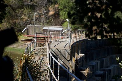
Searsville Dam, Gravity dam in San Mateo County, California.
Searsville Dam is a gravity dam built from interlocking concrete blocks on the San Francisquito Creek, inside the Jasper Ridge Biological Preserve in San Mateo County, California. The dam holds back a reservoir that sits directly behind the wall, surrounded by wooded hills.
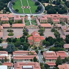
The Spring Valley Water Company built the dam in 1892 to store water for the surrounding region. Stanford University later acquired the site and used the reservoir to supply the campus.
The dam is part of the Jasper Ridge Biological Preserve, where Stanford University conducts research and educational initiatives focused on regional ecosystems. Visitors experience the relationship between water management and conservation efforts.
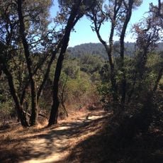
Access to the dam runs through the Jasper Ridge Biological Preserve, which requires visitors to register in advance before entering. The area is explored on foot, so sturdy shoes and water are a good idea.
The dam cuts off the natural migration route of steelhead trout along the San Francisquito Creek. Stanford developed a tunnel system designed to help the fish move past the wall.
The community of curious travelers
AroundUs brings together thousands of curated places, local tips, and hidden gems, enriched daily by 60,000 contributors worldwide.