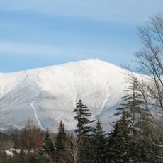
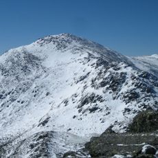
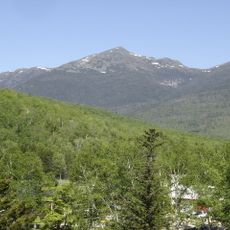
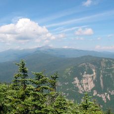
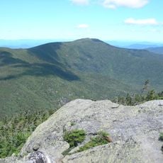
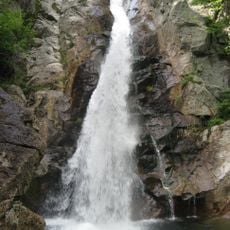
Tuckerman Ravine, Mountain valley in White Mountains, United States.
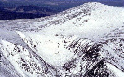
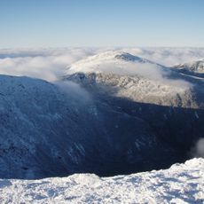
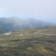
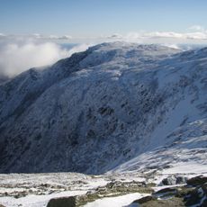
Tuckerman Ravine is a mountain valley on Mount Washington's southeast face with slopes ranging from 40 to 55 degrees. The formation collects natural snowpack that can reach depths of around 100 feet in some winters.
The first documented ski descent occurred in 1913 when Dartmouth students ventured down its slopes, launching the sport in eastern North America. During the 1930s, the Civilian Conservation Corps built trails throughout the area, opening it to wider public use.
The ravine takes its name from Edward Tuckerman, a Harvard botanist who explored the area in the 1800s. Today it draws people who value steep skiing and the tight community of those who seek challenging mountain terrain.
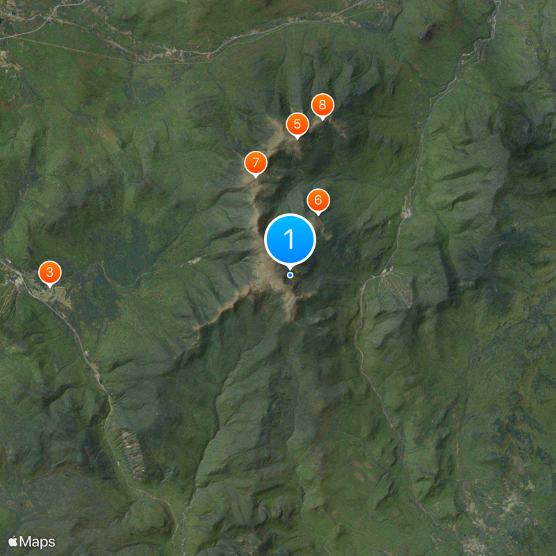
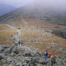
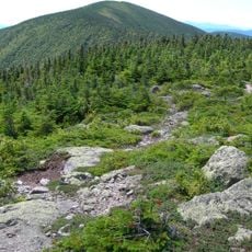
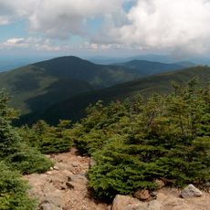
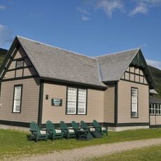
Most visitors start at the AMC Visitor Center at Pinkham Notch and follow a trail that leads to the ravine base in a couple of hours. The terrain is steep and exposed, so proper gear and mountain experience are important for safety.
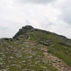
The ravine benefits from a natural wind pattern that Mount Washington creates throughout winter. Strong gusts funnel snow from the surrounding peaks directly into the valley, meaning it fills with snow even when nearby slopes stay bare.
Location: New Hampshire
GPS coordinates: 44.26186,-71.29609
Latest update: December 6, 2025 16:00
New Hampshire reveals a land where the White Mountains have shaped the skyline for millennia. Between northern coniferous forests and southeastern Atlantic coasts, this New England state features waterfalls cascading over granite, glacial passes carved 15,000 years ago, and industrial villages embedded in red stone. Archaeological sites, lighthouses guiding ships on Piscataqua, and estates where early 20th-century artists shaped American identity await discovery. Trails wind through gorges, along lakes reflecting peaks, and through forests where remnants of old foundries remain. Autumn light illuminates maple trees, winter turns ravines into ice amphitheaters, and spring causes waterfalls to roar. From Mount Monadnock to the Shoals Islands, New Hampshire offers a varied geography where each hill, waterfall, and stone bears witness to a deeply rooted natural and human story within the landscape of New England.
Mount Washington
1.1 km
Mount Washington Hotel
11.4 km
Mount Washington Auto Road
3.2 km
Mount Adams
6.5 km
Mount Washington Hillclimb Auto Race
3.2 km
Mount Jefferson
5 km
Mount Madison
7.6 km
Mount Washington State Park
1.2 km
Mount Pierce
6.8 km
Wildcat Mountain
7.6 km
Great Gulf
3.2 km
Mount Clay
3.1 km
Carter Dome
9.3 km
Crawford Path
9.2 km
Mount Jackson
9.1 km
Boott Spur
1 km
Mount Franklin
3.1 km
Mount Webster
10.5 km
Mount Hight
10.2 km
South Carter Mountain
10.1 km
North Carter Mountain
11.9 km
Crawford House
10.4 km
Nash & Sawyer Location, New Hampshire
11.6 km
Crawford House Artist's Studio
10.3 km
Middle Carter Mountain
11.2 km
Mount Monroe
2.2 km
Glen Ellis Falls
4 km
Upper Falls, Coös County
9.6 kmVisited this place? Tap the stars to rate it and share your experience / photos with the community! Try now! You can cancel it anytime.
Discover hidden gems everywhere you go!
From secret cafés to breathtaking viewpoints, skip the crowded tourist spots and find places that match your style. Our app makes it easy with voice search, smart filtering, route optimization, and insider tips from travelers worldwide. Download now for the complete mobile experience.
A unique approach to discovering new places❞
— Le Figaro
All the places worth exploring❞
— France Info
A tailor-made excursion in just a few clicks❞
— 20 Minutes