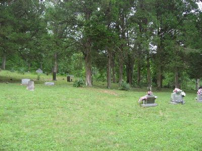
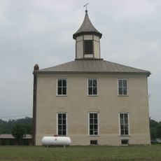
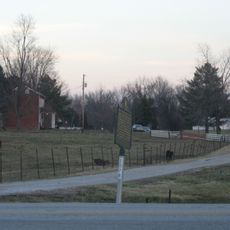
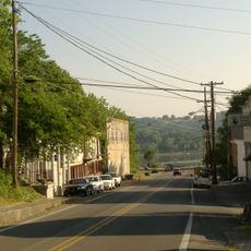
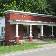
Union Township, township in Perry County, Indiana
Location: Perry County
Elevation above the sea: 116 m
Shares border with: Oil Township
GPS coordinates: 38.06806,-86.51083
Latest update: March 8, 2025 01:12
Confederate Monument in Louisville
30.7 km
Wyandotte Caves
25.9 km
Cannelton Locks and Dam
25.4 km
O'Bannon Woods State Park
25.9 km
Matthew E. Welsh Bridge
28.1 km
Rockhouse Cliffs Rockshelters
5.9 km
Cannelton Cotton Mill
27 km
Harrison–Crawford State Forest
23.6 km
Bob Cummings – Lincoln Trail Bridge
27.5 km
Christ of the Ohio
26.4 km
Swan's Landing Archeological Site
22.4 km
Potts Creek Rockshelter
18.4 km
Jacob Rickenbaugh House
16.1 km
Huffman Mill Covered Bridge
23.7 km
Meade County Jail
30.9 km
St. Boniface Catholic Church
28.9 km
Joseph Holt House and Chapel
18.5 km
Irvington Historic District
28.7 km
Cannelton Historic District
26.8 km
Old Perry County Courthouse
16.1 km
Tell City Oddfellows' Hall
26.2 km
Edward Yeakel House
30.9 km
Hancock County Courthouse
28 km
Robert C. Beauchamp House
30.4 km
Brandenburg Commercial District
30.8 km
Jones-Willis House
30.8 km
Immaculate Conception Church
27.9 km
Mill Creek Bridge
10.6 kmReviews
Visited this place? Tap the stars to rate it and share your experience / photos with the community! Try now! You can cancel it anytime.
Discover hidden gems everywhere you go!
From secret cafés to breathtaking viewpoints, skip the crowded tourist spots and find places that match your style. Our app makes it easy with voice search, smart filtering, route optimization, and insider tips from travelers worldwide. Download now for the complete mobile experience.
A unique approach to discovering new places❞
— Le Figaro
All the places worth exploring❞
— France Info
A tailor-made excursion in just a few clicks❞
— 20 Minutes