Log in to your account

AroundUs is a community-driven map of interesting places, built by curious explorers like you. It grows with every review, story, and photo you share.
Connect to save your favorite spots, contribute locations, and create personalized routes.
Continue with Google
Continue with Apple
Continue with X
Continue with Facebook
Continue with email
By continuing, you accept our Terms and Conditions and our Privacy Policy
Create an account

Wabash Valley

Add to collection
Map
Suggest a change
Share

Wabash Valley, River valley region across Indiana and Illinois, US.

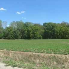
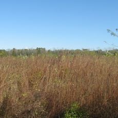
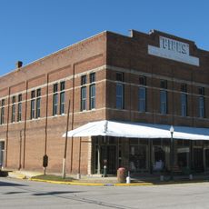
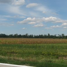
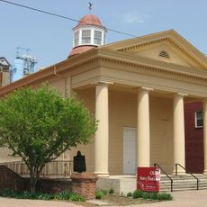
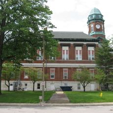
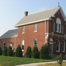
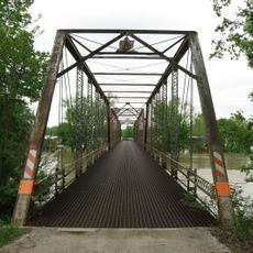
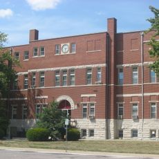
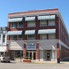
The Wabash Valley is a river valley region spanning multiple counties across Indiana and Illinois, with the Wabash River serving as the central waterway. The landscape features forested banks, open fields, and scattered towns distributed along the river course.

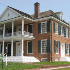
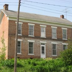
The valley was originally home to Miami and Illiniwek peoples who settled along the river before European colonists arrived in the early 1800s. This early settlement pattern influenced the later location of towns and trade routes throughout the region.

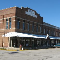
Communities throughout the valley maintain farming as a way of life, with regular farmers markets and local craft fairs displaying regional goods and skills. These traditions shape the character of towns and the seasonal rhythm of daily life.

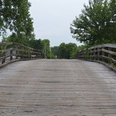
The valley offers many outdoor opportunities with hiking trails, fishing spots, and camping areas distributed along the river. The best time to visit is spring through early fall when trails are dry and nature is active.

The Wabash Valley Fault System caused a magnitude 5.2 earthquake in 2008 that residents across multiple states felt shake the ground. Despite its strength, the quake left no major structural damage and reveals the geological forces beneath the region.

GPS coordinates: 38.83333,-87.50000

Latest update: December 7, 2025 20:49

Photos
Around this place
Grouseland
United States of America

Grouseland

16.6 km
George Rogers Clark National Historical Park
United States of America

George Rogers Clark National Historical Park

17.4 km
Forts of Vincennes
United States of America

Forts of Vincennes

17.4 km
St. Francis Xavier Cathedral and Library
United States of America

St. Francis Xavier Cathedral and Library

17.4 km
Lincoln Memorial Bridge
United States of America

Lincoln Memorial Bridge

17.2 km
Pyramid Mound
United States of America

Pyramid Mound

18.1 km
Indiana Territorial Capitol
United States of America

Indiana Territorial Capitol

16.7 km
Stoner Site
United States of America

Stoner Site

26.5 km
Shadowwood
United States of America

Shadowwood

16.5 km
Riverton Site
United States of America

Riverton Site

22 km
American Trust and Savings Bank
United States of America

American Trust and Savings Bank

16.6 km
Vincennes Fortnightly Club
United States of America

Vincennes Fortnightly Club

17.3 km
Sullivan County Courthouse
United States of America

Sullivan County Courthouse

30.2 km
Bridge at Thirteenth Street
United States of America

Bridge at Thirteenth Street

29.9 km
Fife Opera House
United States of America

Fife Opera House

21.2 km
Swan Island Site
United States of America

Swan Island Site

3.9 km
Old State Bank
United States of America

Old State Bank

17.2 km
Lawrence County Courthouse
United States of America

Lawrence County Courthouse

19.6 km
Hack and Simon Office Building
United States of America

Hack and Simon Office Building

16.7 km
County Bridge No. 45
United States of America

County Bridge No. 45

26.1 km
John B. Harper House
United States of America

John B. Harper House

21.2 km
Robinson High School Auditorium-Gymnasium
United States of America

Robinson High School Auditorium-Gymnasium

29.3 km
Crawford County Courthouse
United States of America

Crawford County Courthouse

28.2 km
Indiana Military Museum
United States of America

Indiana Military Museum

18.1 km
Alfred Simonson House
United States of America

Alfred Simonson House

21.9 km
Palestine Commercial Historic District
United States of America

Palestine Commercial Historic District

21.2 km
Sherman Building
United States of America

Sherman Building

30.2 km
The Red Skelton Museum of American Comedy
United States of America

The Red Skelton Museum of American Comedy

16.1 km
Show the full map
Reviews

Visited this place? Tap the stars to rate it and share your experience / photos with the community! Try now! You can cancel it anytime.

« Wabash Valley - River valley region across Indiana and Illinois, US » is provided by Around Us (aroundus.com). Images and texts are derived from Wikimedia project under a Creative Commons license. You are allowed to copy, distribute, and modify copies of this page, under the conditions set by the license, as long as this note is clearly visible.

Discover hidden gems everywhere you go!

From secret cafés to breathtaking viewpoints, skip the crowded tourist spots and find places that match your style. Our app makes it easy with voice search, smart filtering, route optimization, and insider tips from travelers worldwide. Download now for the complete mobile experience.

Around Us App Screenshot

A unique approach to discovering new places

Le Figaro

All the places worth exploring

France Info

A tailor-made excursion in just a few clicks

20 Minutes