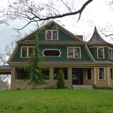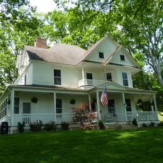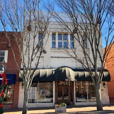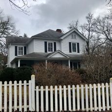
Chest opened
+${chestReward.xp} XP
Explorer
NOUVEAU ×${chestReward.collectible.quantity}
tapez pour fermer

See the monuments around you in AR Open chests in the app

Around Us is built for your phone — point your camera at the streets and discover the monuments and places around you in augmented reality. Around Us is built for your phone — chests unlock when you walk, explore and capture nearby places.

Enable Location

We need your location to show you interesting places around you

Discover nearby places

Find interesting locations and hidden gems around you

Precise directions

Get accurate directions and distances to places

Your location is never shared with other users. It's only used when you tap the location button.

Waterrock Knob

Log in to your account

Start exploring — it's free

Trusted by 85,227 travelers worldwide

Continue with Google
Continue with Apple
or

We will send you a code to connect

By continuing, you accept our Terms and Conditions and our Privacy Policy

Check your inbox

We've sent a pincode in your inbox. Please enter the code below.

Waterrock Knob
Discussion Reviews 1 Photos
8.7k Popularity

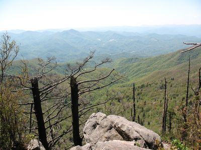
Waterrock Knob, Mountain summit on Blue Ridge Parkway, North Carolina

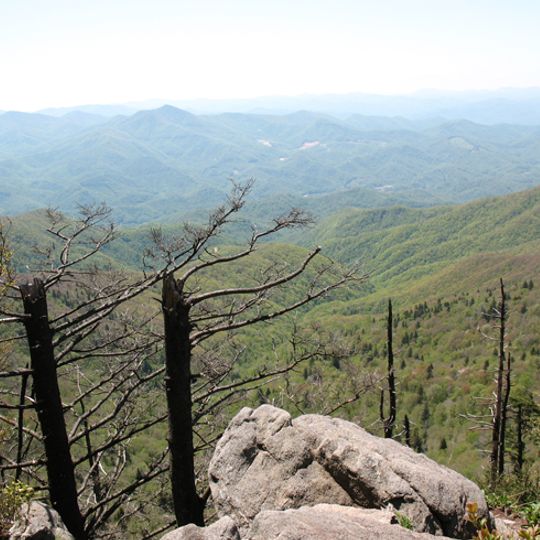
Waterrock Knob is a mountain summit on the Blue Ridge Parkway in North Carolina, sitting on the border between Haywood County and Jackson County. The summit is the highest point along the entire parkway route, and a small visitor center sits near the trailhead at the parking area below the top.

Cherokee people traveled through this part of the Appalachians for generations along routes that later became paths for farmers, hunters, and traders moving across the mountains. The Blue Ridge Parkway was built in the 1930s as a public works project, which eventually brought a paved road close to the summit.

The name Waterrock Knob comes from a natural spring that once flowed beneath the rock and gave travelers a place to drink. Today the spot draws people at sunset, when the sky above the ridgeline turns vivid shades and visitors gather along the trail to watch.

The trail to the top starts on a paved path near the parking area and then transitions to a natural surface with uneven footing. The climb takes only a short time, but wind and cold temperatures can arrive quickly at this elevation, so bringing a layer is a good idea.

Wreckage from a small plane that crashed into the mountain in 1983 is still visible near the trail. The accident led to a review of aviation safety procedures for flights over mountainous terrain in the region.

The community of curious travelers

AroundUs brings together thousands of curated places, local tips, and hidden gems, enriched daily by 60,000 contributors worldwide.
Start exploring
Location
Location
GPS coordinates
35.46412,-83.13766
Latest update
September 3, 2026 15:06
Around this place
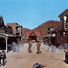
Ghost Town in the Sky
United States of America

Ghost Town in the Sky

4.3 mi
Harrah's Cherokee
United States of America

Harrah's Cherokee

9.4 mi
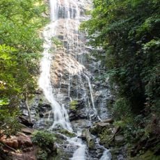
Mingo Falls
United States of America

Mingo Falls

9 mi
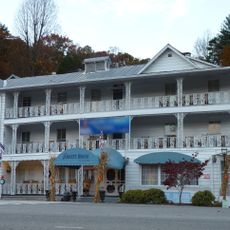
The Jarrett House
United States of America

The Jarrett House

9.2 mi
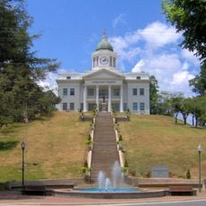
Jackson County Courthouse
United States of America

Jackson County Courthouse

8.1 mi
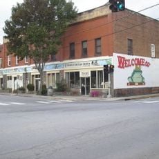
Frog Level Historic District
United States of America

Frog Level Historic District

8.5 mi
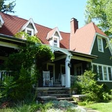
Frank Smathers House
United States of America

Frank Smathers House

9.3 mi
Boone-Withers House
United States of America

Boone-Withers House

8.5 mi
Dr. D. D. Hooper House
United States of America

Dr. D. D. Hooper House

8 mi
Downtown Sylva Historic District
United States of America

Downtown Sylva Historic District

8 mi
Webster Baptist Church
United States of America

Webster Baptist Church

10 mi
Dr. J. Howell Way House
United States of America

Dr. J. Howell Way House

8.5 mi
Waynesville Main Street Historic District
United States of America

Waynesville Main Street Historic District

8.5 mi
Elias Brendle Monteith House and Outbuildings
United States of America

Elias Brendle Monteith House and Outbuildings

8.7 mi
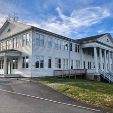
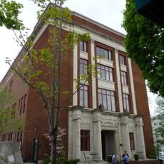
Masonic Hall
United States of America

Masonic Hall

8.6 mi
Charles and Annie Quinlan House
United States of America

Charles and Annie Quinlan House

8.4 mi
Shackford Hall
United States of America

Shackford Hall

9.9 mi
Shelton House
United States of America

Shelton House

8.7 mi
Lucius Coleman Hall House
United States of America

Lucius Coleman Hall House

9.7 mi
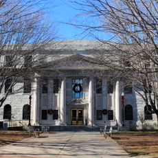
Haywood County Courthouse
United States of America

Haywood County Courthouse

8.7 mi
Alden and Thomasene Howell House
United States of America

Alden and Thomasene Howell House

9.2 mi
Clyde H. Ray Sr. House
United States of America

Clyde H. Ray Sr. House

8.5 mi
Former Citizens Bank and Trust Company Building
United States of America

Former Citizens Bank and Trust Company Building

8.7 mi
Elisha Calor Hedden House
United States of America

Elisha Calor Hedden House

9.3 mi
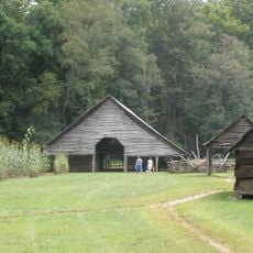
Enloe Barn
United States of America

Enloe Barn

9.9 mi
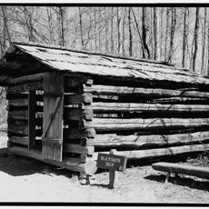
Blacksmith Shop
United States of America

Blacksmith Shop

9.9 mi
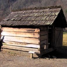
Springhouse
United States of America

Springhouse

10 mi
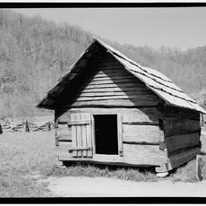
Corn Crib
United States of America

Corn Crib

10 mi
Show the full map
Reviews
Share your experience

No review yet

Discussions
Start a discussion...

No discussion yet

« Waterrock Knob - Mountain summit on Blue Ridge Parkway, North Carolina » is provided by Around Us (aroundus.com). Images and texts are derived from Wikimedia project under a Creative Commons license. You are allowed to copy, distribute, and modify copies of this page, under the conditions set by the license, as long as this note is clearly visible.

Discover hidden gems everywhere you go!

From secret cafés to breathtaking viewpoints, skip the crowded tourist spots and find places that match your style. Our app makes it easy with voice search, smart filtering, route optimization, and insider tips from travelers worldwide. Download now for the complete mobile experience.
Around Us App Screenshot

A unique approach to discovering new places

Le Figaro

All the places worth exploring

France Info

A tailor-made excursion in just a few clicks

20 Minutes

Around Us
Travel Guide & Maps
Download

Send to your phone

QR Code
1

Open the camera app on your mobile.

2

Point at the QR code with your camera. A notification will appear.

3

Tap the notification to open the link.