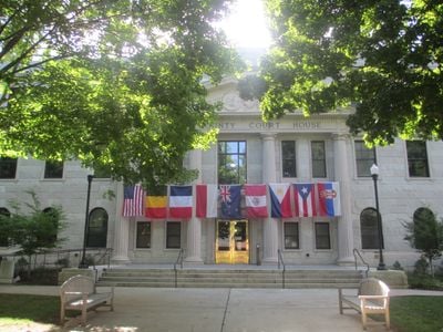
Haywood County, Administrative county in western North Carolina, United States
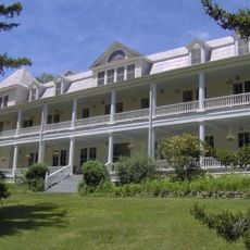
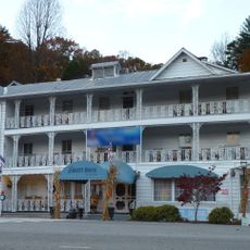
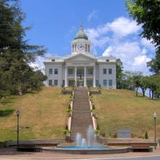
Haywood County is an administrative region in the western mountains of North Carolina. The area is defined by Waynesville, which serves as the county seat and main commercial hub.
The county was created in 1808 from Buncombe County and named for John Haywood, North Carolina's state treasurer. Its founding helped organize the growing mountain region administratively.
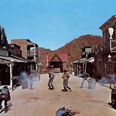
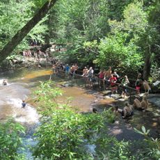
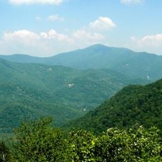
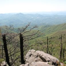
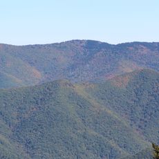
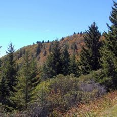
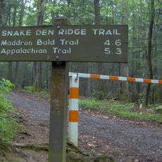
The closeness to the Great Smoky Mountains and Pisgah National Forest shapes how people here spend their days and celebrate together. Outdoor gatherings and seasonal festivals reflect the mountains' influence on community life.
The county is supported by a school system with multiple institutions and specialized educational programs that make it a functioning community. Visitors will find established services and resources throughout the area.
Waynesville witnessed one of the final armed clashes of the Civil War east of the Mississippi River on May 9, 1865. This moment marks an overlooked episode in the area's past.
Location: North Carolina
Inception: 1808
Capital city: Waynesville
Shares border with: Cocke County, Madison County, Buncombe County, Transylvania County, Jackson County, Swain County, Sevier County, Henderson County
Website: http://haywoodnc.net
GPS coordinates: 35.55000,-82.98000
Latest update: December 13, 2025 16:20
Ghost Town in the Sky
11.3 km
Sliding Rock
31.9 km
Cold Mountain
19.2 km
Looking Glass Falls
34.1 km
Black Balsam Knob
26.5 km
Looking Glass Rock
32.2 km
Mount Pisgah
24.5 km
Waterrock Knob
17.2 km
Biltmore Forest School
28.7 km
Shining Rock Wilderness
25 km
Richland Balsam
20.4 km
Moore Cove Falls
32.2 km
Ramsey Center
33 km
Shining Rock
22.9 km
Balsam Mountain Inn
16.9 km
Old Black
30.9 km
Walters Dam
17.3 km
Slick Rock Falls
33 km
The Jarrett House
31.8 km
Garden Creek site
12.7 km
Middle Prong Wilderness
23.8 km
Tanasee Bald
29.3 km
Snake Den Ridge Trail
30.7 km
Jackson County Courthouse
29.8 km
Log Hollow Falls
29.6 km
Frog Level Historic District
6.3 km
Lower Mount Cammerer Trail
30.3 km
Mount Hardison
28.8 kmVisited this place? Tap the stars to rate it and share your experience / photos with the community! Try now! You can cancel it anytime.
Discover hidden gems everywhere you go!
From secret cafés to breathtaking viewpoints, skip the crowded tourist spots and find places that match your style. Our app makes it easy with voice search, smart filtering, route optimization, and insider tips from travelers worldwide. Download now for the complete mobile experience.
A unique approach to discovering new places❞
— Le Figaro
All the places worth exploring❞
— France Info
A tailor-made excursion in just a few clicks❞
— 20 Minutes