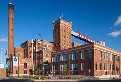
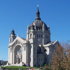
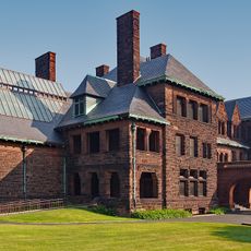
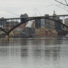
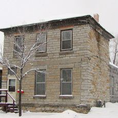
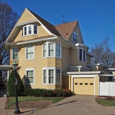
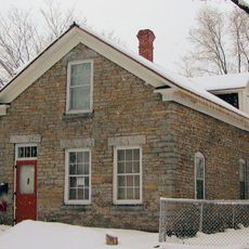
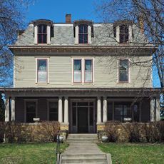
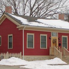
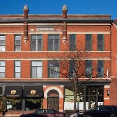
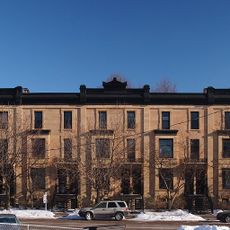
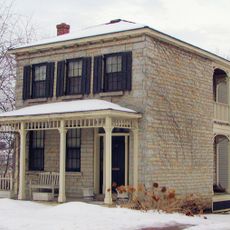
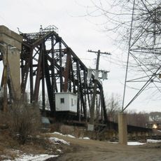
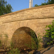
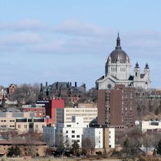
West Seventh, human settlement in Saint Paul, Minnesota, United States of America
Location: Saint Paul
Website: http://fortroadfederation.org/
GPS coordinates: 44.93420,-93.11260
Latest update: March 8, 2025 10:13
Cathedral of Saint Paul, National Shrine of the Apostle Paul
1.4 km
James J. Hill House
1.2 km
F. Scott Fitzgerald House
1.3 km
Smith Avenue High Bridge
654 m
C.S.P.S. Hall
302 m
Schmidt Artist Lofts
1.1 km
Alexander Ramsey House
1.1 km
Frank B. Kellogg House
1.2 km
Harriet Island Pavilion
1.3 km
Irvine Park Historic District
1.1 km
Burbank–Livingston–Griggs House
866 m
Justus Ramsey Stone House
1.1 km
Blair Flats
1.4 km
Science Museum of Minnesota
1.4 km
Saint Paul Municipal Grain Terminal
1.1 km
North High Bridge Park
440 m
Anthony Waldman House
521 m
27 Crocus Place
1.1 km
Martin Weber House
611 m
Anthony Yoerg, Sr. House
1.4 km
William Dahl House
801 m
Otto W. Rohland Building
444 m
Lauer Flats
241 m
Joseph Brings House
546 m
Omaha Road Bridge Number 15
1.3 km
John M. Armstrong House
1.2 km
Mendota Road Bridge
1 km
Historic Hill District
1.2 kmVisited this place? Tap the stars to rate it and share your experience / photos with the community! Try now! You can cancel it anytime.
Discover hidden gems everywhere you go!
From secret cafés to breathtaking viewpoints, skip the crowded tourist spots and find places that match your style. Our app makes it easy with voice search, smart filtering, route optimization, and insider tips from travelers worldwide. Download now for the complete mobile experience.
A unique approach to discovering new places❞
— Le Figaro
All the places worth exploring❞
— France Info
A tailor-made excursion in just a few clicks❞
— 20 Minutes