
Riley Township, township in St. Clair County, Michigan
Location: St. Clair County
Elevation above the sea: 239 m
GPS coordinates: 42.94780,-82.80690
Latest update: March 2, 2025 23:25
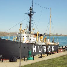
United States lightship Huron
31.3 km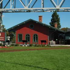
Thomas Edison Depot Museum
31.6 km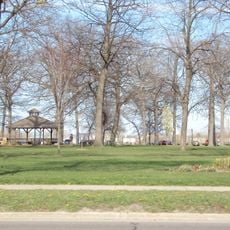
Fort Gratiot
31.3 km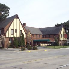
St. Clair Inn
29.5 km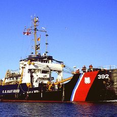
USCGC Bramble
31.1 km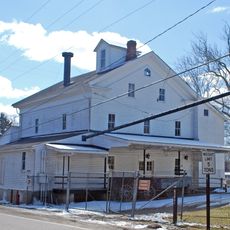
Wolcott Mill Metropark
22.1 km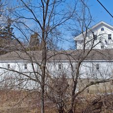
Wolcott Mill
22.5 km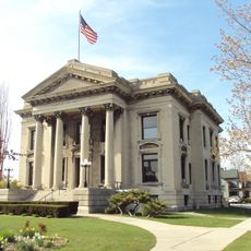
Ladies of the Maccabees Building
31.4 km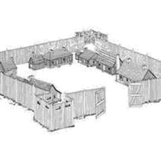
Fort St. Joseph
31.5 km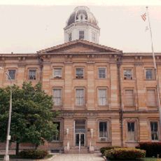
Federal Building
31.2 km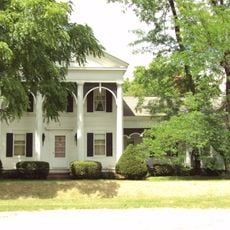
John W. Day House
27.6 km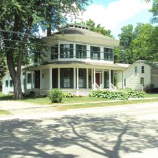
Currier House
19.4 km
General Squier Memorial Park
26 km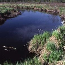
Lakeville Swamp
31.5 km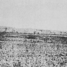
Younge Site
27.1 km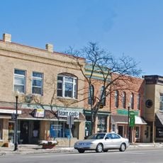
Romeo Historic District
23.4 km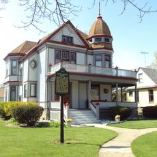
James McColl House
19.9 km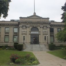
Carnegie Center
31.1 km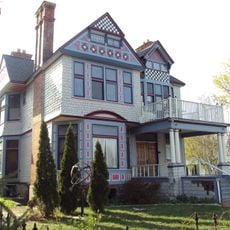
Wilbur F. Davidson House
31.2 km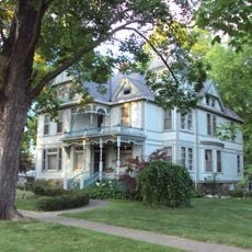
Charles Palmer House
23.5 km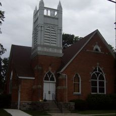
First Congregational Church
15.4 km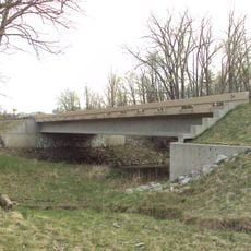
Wadhams Road–Pine River Bridge
22 km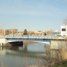
Seventh Street–Black River Bridge
31.1 km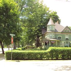
West Saint Clair Street Historic District
19.9 km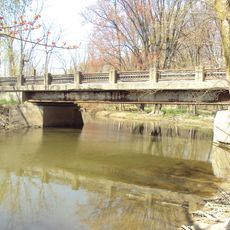
Masters Road–Belle River Bridge
2.1 km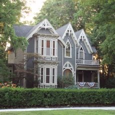
James F. Fairweather–Jacob C. Lamb House
23.4 km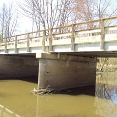
Jeddo Road–South Branch Mill Creek Drain Bridge
21.9 km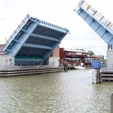
Military Street Bridge
31.3 kmVisited this place? Tap the stars to rate it and share your experience / photos with the community! Try now! You can cancel it anytime.
Discover hidden gems everywhere you go!
From secret cafés to breathtaking viewpoints, skip the crowded tourist spots and find places that match your style. Our app makes it easy with voice search, smart filtering, route optimization, and insider tips from travelers worldwide. Download now for the complete mobile experience.

A unique approach to discovering new places❞
— Le Figaro
All the places worth exploring❞
— France Info
A tailor-made excursion in just a few clicks❞
— 20 Minutes