Enable Location

We need your location to show you interesting places around you

Discover nearby places

Find interesting locations and hidden gems around you

Precise directions

Get accurate directions and distances to places

Your location is never shared with other users. It's only used when you tap the location button.

St. Clair County

Log in to your account

Start exploring — it's free

Trusted by 62,787 travelers worldwide

Continue with Google
Continue with Apple
or

We will send you a code to connect

By continuing, you accept our Terms and Conditions and our Privacy Policy

Check your inbox

We've sent a pincode in your inbox. Please enter the code below.

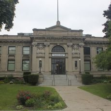
St. Clair County, Administrative county in Michigan, United States.

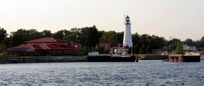
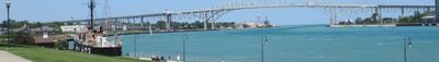
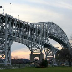
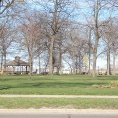
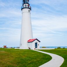
St. Clair County is an administrative county in Michigan that spans a large area, combining land and water surfaces from Lake Saint Clair and various waterways. The region consists of several towns and rural areas that form a varied mix of residential communities and natural landscapes.

The county was established in 1820 and named after Lake Saint Clair, which French explorers discovered during their early expeditions in the region. This naming reflects the area's connection to the waterways that were significant for transportation and exploration.

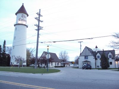
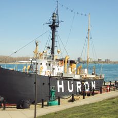
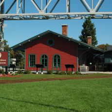
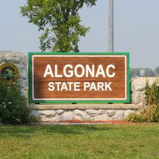
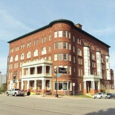
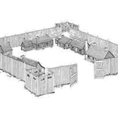
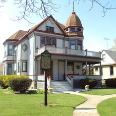
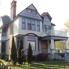
The county includes several municipalities like Port Huron, Marine City, and Marysville, each maintaining its own local traditions and community events. These smaller towns shape daily life and create gathering places where residents and visitors come together.

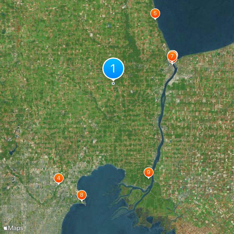
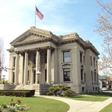
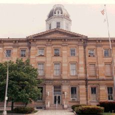
The county is accessible by several roads and features different zones with residential areas, business districts, and open spaces. Visitors should know that county services are spread across multiple locations and that the best time to explore depends on the season and weather.

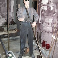
The county is home to two major power plants, the St. Clair Power Plant and the Belle River Power Plant, which supply energy to the region. These industrial facilities are visible landmarks that shape the landscape and reflect the area's economic history.

The community of curious travelers

AroundUs brings together thousands of curated places, local tips, and hidden gems, enriched daily by 60,000 contributors worldwide.

Start exploring
Location
Inception
1820
Capital city
Port Huron
Shares border with
Sanilac County, Macomb County, Lapeer County
GPS coordinates
42.93000,-82.67000
Latest update
December 20, 2025 12:41
Around this place
Blue Water Bridge
United States of America

Blue Water Bridge

21.5 km
United States lightship Huron
United States of America

United States lightship Huron

20.9 km
C.J. Barrymore's
United States of America

C.J. Barrymore's

38.4 km
United States of America

Lakeport State Park

25.8 km
Thomas Edison Depot Museum
United States of America

Thomas Edison Depot Museum

21.3 km
Fort Gratiot
United States of America

Fort Gratiot

21 km
United States of America

Metro Beach Metropark

40.8 km
Algonac State Park
United States of America

Algonac State Park

34 km
Fort Gratiot Light
United States of America

Fort Gratiot Light

21.9 km
St. Clair Inn
United States of America

St. Clair Inn

18.9 km
United States of America

Selfridge Military Air Museum

36.1 km
USCGC Bramble
United States of America

USCGC Bramble

20.2 km
St. Clair Flats Front and Rear Range Light
United States of America

St. Clair Flats Front and Rear Range Light

43.7 km
Tashmoo Park
United States of America

Tashmoo Park

39.9 km
United States of America

Wetzel State Recreation Area

26.2 km
Wolcott Mill Metropark
United States of America

Wolcott Mill Metropark

28.1 km
United States of America

Port Huron Museum

20.4 km
Wolcott Mill
United States of America

Wolcott Mill

27.8 km
Harrington Hotel
United States of America

Harrington Hotel

20.6 km
Ladies of the Maccabees Building
United States of America

Ladies of the Maccabees Building

20.8 km
Peche Island Rear Range Light
United States of America

Peche Island Rear Range Light

27.9 km
Fort St. Joseph
United States of America

Fort St. Joseph

21.3 km
Federal Building
United States of America

Federal Building

20.5 km
Wallaceburg and District Museum
Canada

Wallaceburg and District Museum

45.9 km
James McColl House
United States of America

James McColl House

24.3 km
Carnegie Center
United States of America

Carnegie Center

20.4 km
Wilbur F. Davidson House
United States of America

Wilbur F. Davidson House

20.4 km
Marine City Water Works
United States of America

Marine City Water Works

27.7 km
Show the full map
Administrative divisions
« St. Clair County - Administrative county in Michigan, United States » is provided by Around Us (aroundus.com). Images and texts are derived from Wikimedia project under a Creative Commons license. You are allowed to copy, distribute, and modify copies of this page, under the conditions set by the license, as long as this note is clearly visible.

Discover hidden gems everywhere you go!

From secret cafés to breathtaking viewpoints, skip the crowded tourist spots and find places that match your style. Our app makes it easy with voice search, smart filtering, route optimization, and insider tips from travelers worldwide. Download now for the complete mobile experience.

Around Us App Screenshot

A unique approach to discovering new places

Le Figaro

All the places worth exploring

France Info

A tailor-made excursion in just a few clicks

20 Minutes

Around Us
Travel Guide & Maps
Download

Send to your phone

QR Code
1

Open the camera app on your mobile.

2

Point at the QR code with your camera. A notification will appear.

3

Tap the notification to open the link.