Enable Location

We need your location to show you interesting places around you

Discover nearby places

Find interesting locations and hidden gems around you

Precise directions

Get accurate directions and distances to places

Your location is never shared with other users. It's only used when you tap the location button.

Wissahickon Creek

Log in to your account

Start exploring — it's free

Trusted by 62,360 travelers worldwide

Continue with Google
Continue with Apple
or

We will send you a code to connect

By continuing, you accept our Terms and Conditions and our Privacy Policy

Check your inbox

We've sent a pincode in your inbox. Please enter the code below.

Wissahickon Creek

Wissahickon Creek, Natural stream in Northwest Philadelphia, United States.

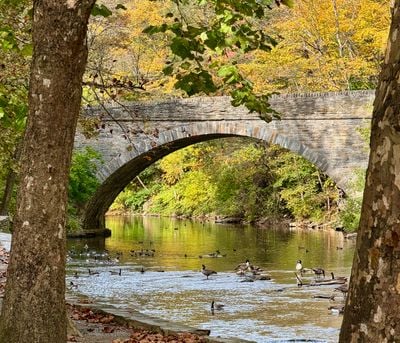
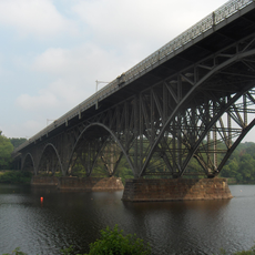
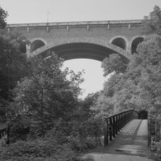
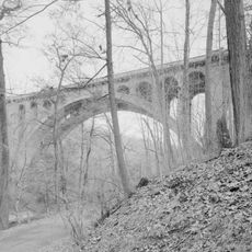
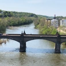
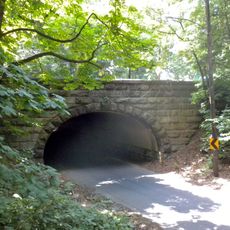
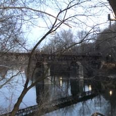
Wissahickon Creek is a flowing stream that winds through Montgomery and Philadelphia Counties before emptying into the Schuylkill River through a deep limestone canyon. The water passes through a forested valley with steep banks and rocky sections that define the landscape.

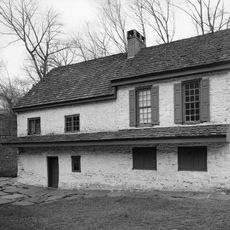
During the 1700s, the creek powered many mills, including the first paper mill in America, which was built here by William Rittenhouse. This early industrial use shaped the region's economic development for generations.

The name comes from a Lenape word referring to fish or the water's color, connecting this stream to the region's indigenous heritage. Today, residents and visitors use the valley for walking and outdoor activities, making it a gathering place for the community.

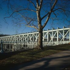
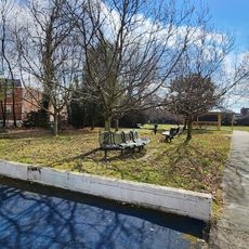
The creek can be reached through Wissahickon Valley Park, which has walking paths and viewpoints along the water. Visitors should wear sturdy shoes, and anyone wishing to fish needs the proper licenses.

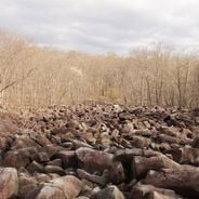
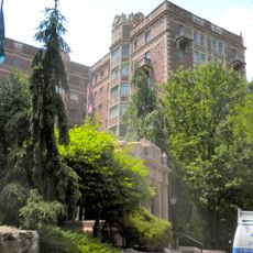
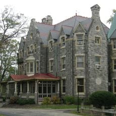
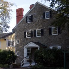
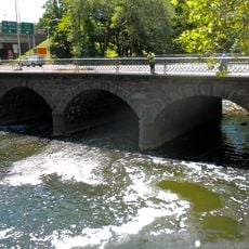
The creek's landscape includes Wissahickon schist, a distinctive rock type that became a popular building material in Philadelphia during the 1800s. This shiny stone is still visible in many of the city's older buildings today.

The community of curious travelers

AroundUs brings together thousands of curated places, local tips, and hidden gems, enriched daily by 60,000 contributors worldwide.

Start exploring
Location
GPS coordinates
40.01310,-75.20690
Latest update
December 6, 2025 16:02
Pennsylvania : waterfalls, coal mines, colonial architecture

Pennsylvania offers visitors a notable mix of stories from the past and natural sights. You will see waterfalls tumbling down the sides of the Pocono Mountains, underground museums in old coal mines, and colonial houses that tell the story of the first settlers. Many parks, lakes, and forests invite...

Around this place
Laurel Hill Cemetery
United States of America

Laurel Hill Cemetery

1.9 km
West Laurel Hill Cemetery
United States of America

West Laurel Hill Cemetery

1.4 km
Strawberry Mansion Bridge
United States of America

Strawberry Mansion Bridge

2.3 km
Historic RittenhouseTown
United States of America

Historic RittenhouseTown

2.2 km
Wissahickon Memorial Bridge
United States of America

Wissahickon Memorial Bridge

1.5 km
Manayunk Bridge
United States of America

Manayunk Bridge

2.1 km
Alden Park Manor
United States of America

Alden Park Manor

2.3 km
Walnut Lane Bridge
United States of America

Walnut Lane Bridge

2.2 km
Ravenhill
United States of America

Ravenhill

934 m
Falls Bridge
United States of America

Falls Bridge

907 m
Woodside Amusement Park
United States of America

Woodside Amusement Park

1.6 km
Chain Bridge at Falls of Schuylkill
United States of America

Chain Bridge at Falls of Schuylkill

1.4 km
Chamounix
United States of America

Chamounix

2.1 km
Ridgeland Mansion
United States of America

Ridgeland Mansion

2.3 km
Thomas Mifflin School
United States of America

Thomas Mifflin School

1.3 km
United States of America

Paul J. Gutman Library

1.7 km
Philadelphia and Reading Railroad, Schuylkill River Viaduct
United States of America

Philadelphia and Reading Railroad, Schuylkill River Viaduct

1.4 km
Pencoyd Bridge
United States of America

Pencoyd Bridge

686 m
The Lilacs
United States of America

The Lilacs

1.8 km
Twin Bridges
United States of America

Twin Bridges

1.4 km
St. Josaphat Roman Catholic Church in Philadelphia
United States of America

St. Josaphat Roman Catholic Church in Philadelphia

1.9 km
Green Lane Bridge
United States of America

Green Lane Bridge

2.3 km
Ridge Avenue Bridge in Philadelphia
United States of America

Ridge Avenue Bridge in Philadelphia

183 m
Philadelphia and Reading Railroad, Bridge at West Falls
United States of America

Philadelphia and Reading Railroad, Bridge at West Falls

1.4 km
City Avenue Bridges
United States of America

City Avenue Bridges

192 m
Belmont Avenue Bridge in Philadelphia
United States of America

Belmont Avenue Bridge in Philadelphia

2.4 km
Dobson Mills
United States of America

Dobson Mills

1.8 km
Mule Bridge
United States of America

Mule Bridge

1.4 km
Show the full map
« Wissahickon Creek - Natural stream in Northwest Philadelphia, United States » is provided by Around Us (aroundus.com). Images and texts are derived from Wikimedia project under a Creative Commons license. You are allowed to copy, distribute, and modify copies of this page, under the conditions set by the license, as long as this note is clearly visible.

Discover hidden gems everywhere you go!

From secret cafés to breathtaking viewpoints, skip the crowded tourist spots and find places that match your style. Our app makes it easy with voice search, smart filtering, route optimization, and insider tips from travelers worldwide. Download now for the complete mobile experience.

Around Us App Screenshot

A unique approach to discovering new places

Le Figaro

All the places worth exploring

France Info

A tailor-made excursion in just a few clicks

20 Minutes

Around Us
Travel Guide & Maps
Download

Send to your phone

QR Code
1

Open the camera app on your mobile.

2

Point at the QR code with your camera. A notification will appear.

3

Tap the notification to open the link.