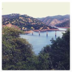
New Exchequer Dam, Embankment dam in Mariposa County, California, US
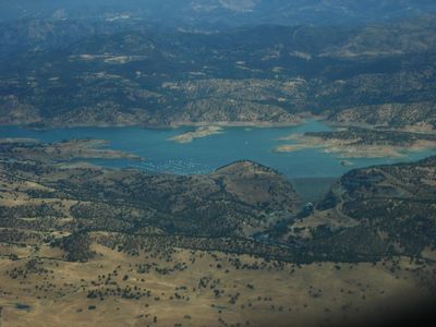
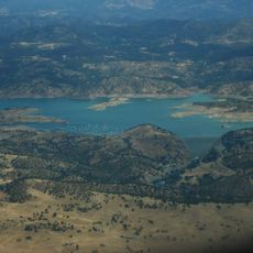
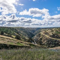
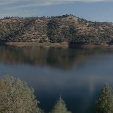
New Exchequer Dam is a rock-fill embankment with a concrete facing that holds back the Merced River. It stores large volumes of water in a lake that stretches for several miles and serves both irrigation and power generation purposes.
It was constructed from 1964 to 1967 and replaced an older facility from 1926 that no longer met needs. The new structure was necessary to store more water and meet the region's growing demands.
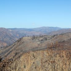
The name comes from 19th-century mining operations that worked in this area. The dam transformed the landscape completely and created a large reservoir that shapes life in the region today.
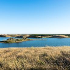
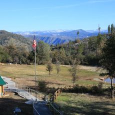
The area can be reached by public roads that follow the shoreline and offer viewpoints. Visitors should note that the water level varies throughout the year depending on seasonal needs and irrigation demands.
The facility incorporates sections of the original dam from 1926 within its structure, preserving older elements while creating a modern facility. This shows how engineers integrated existing works rather than starting completely from scratch.
Location: California
GPS coordinates: 37.58610,-120.26900
Latest update: December 12, 2025 07:53
Lake McClure
6.4 km
Turlock Lake State Recreation Area
28 km
California State Mining and Mineral Museum
31.4 km
Ferguson landslide
33.4 km
Gold Dredge
19 km
Merced County Courthouse
36.5 km
Leggett House
36.3 km
Thomas H. Leggett House
36.4 km
Mariposa County Courthouse
29 km
Odd Fellows Hall
19 km
Shell Gas Station
19 km
Maj. George Beecher Cook House
36.4 km
Groveland Hotel
28.4 km
Hornitos Masonic Hall No. 98
9.8 km
Old Adobe Barn
18.9 km
Kaehler-Rector House
35.9 km
Gamble Building and Miner's Bean Kettle
26.5 km
Bower Cave
27.3 km
Jacksonville Road Bridge
28.8 km
Wallace Dining Center
28.3 km
La Grange Dam
18.1 km
Old La Grange Schoolhouse
18.8 km
Groveland Ranger Station
30.3 km
Coulterville Main Street Historic District
15.3 km
Rim of the World Vista
33.2 km
Camp Tuolumne Trails
31.1 km
South Fork Tuolumne River Bridge
34.7 km
Don Pedro Reservoir
19.6 kmVisited this place? Tap the stars to rate it and share your experience / photos with the community! Try now! You can cancel it anytime.
Discover hidden gems everywhere you go!
From secret cafés to breathtaking viewpoints, skip the crowded tourist spots and find places that match your style. Our app makes it easy with voice search, smart filtering, route optimization, and insider tips from travelers worldwide. Download now for the complete mobile experience.
A unique approach to discovering new places❞
— Le Figaro
All the places worth exploring❞
— France Info
A tailor-made excursion in just a few clicks❞
— 20 Minutes