
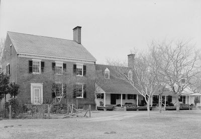
Brownsville, historic house in Virginia, United States
Location: Northampton County
GPS coordinates: 37.46778,-75.82639
Latest update: September 23, 2025 14:26
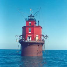
Wolf Trap Light
33.3 km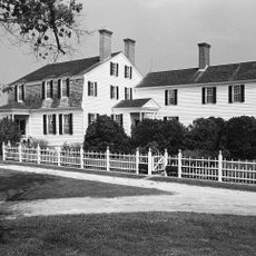
Eyre Hall
21.9 km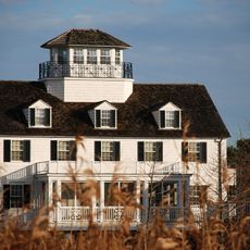
Coast Guard Station Cobb Island
21.5 km
Savage Neck Dunes Natural Area Preserve
22.7 km
Hog Island Light
13.8 km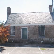
Debtors' Prison
31.3 km
Almshouse Farm at Machipongo
10 km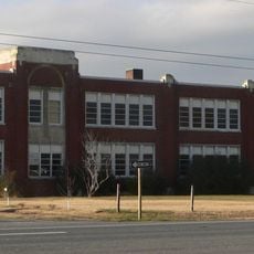
Central High School
15.2 km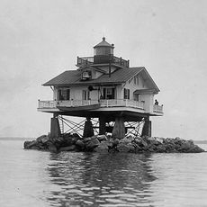
Old Plantation Flats Light
33 km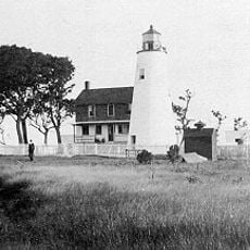
Watts Island Light
35.5 km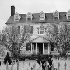
Bowman's Folly
32.3 km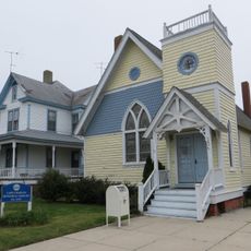
Cape Charles Historic District
27.7 km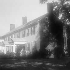
Vaucluse
14.1 km
Pear Valley
11.8 km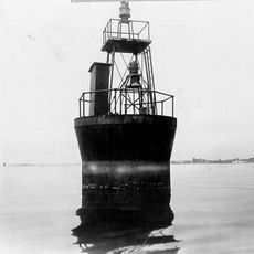
Cherrystone Bar Light
29.8 km
Northampton County Courthouse Historical District
16.6 km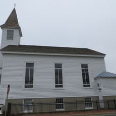
Cokesbury Church
28.2 km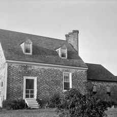
Winona
9.8 km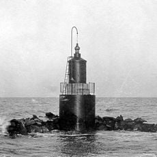
Pungoteague Creek Light
22.6 km
Onancock Historic District
28.1 km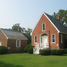
Eastville Historical District
16.6 km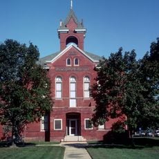
Accomac Historic District
31.3 km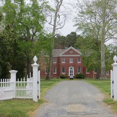
Kerr Place
28.2 km
Locustville Academy
25 km
Grapeland
9.8 km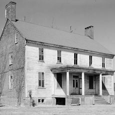
Shepherd's Plain
18 km
John W. Chandler House
7.2 km
Northampton Lumber Company Historic District
2.9 kmReviews
Visited this place? Tap the stars to rate it and share your experience / photos with the community! Try now! You can cancel it anytime.
Discover hidden gems everywhere you go!
From secret cafés to breathtaking viewpoints, skip the crowded tourist spots and find places that match your style. Our app makes it easy with voice search, smart filtering, route optimization, and insider tips from travelers worldwide. Download now for the complete mobile experience.

A unique approach to discovering new places❞
— Le Figaro
All the places worth exploring❞
— France Info
A tailor-made excursion in just a few clicks❞
— 20 Minutes