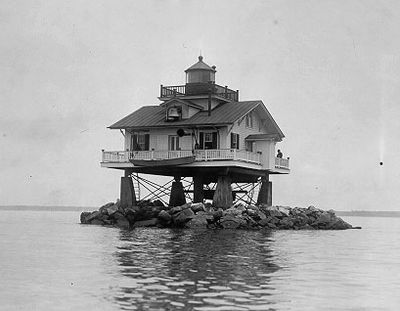
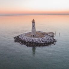
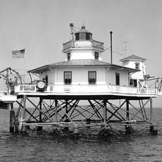
Old Plantation Flats Light, Screw-pile lighthouse in Cape Charles, United States
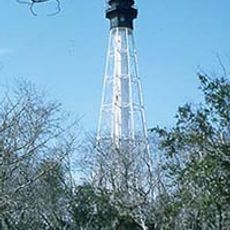
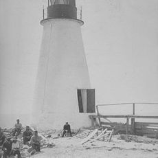
Old Plantation Flats Light is a screw-pile lighthouse near Cape Charles built from cast iron, wood, and concrete with a square tower design. The structure rose approximately 35 feet (11 meters) above the Chesapeake Bay waters to guide vessels through the channel.
The lighthouse was built in 1886 to mark the channel leading to Cape Charles and guide ships safely through the waters. In 1918, major structural reinforcement work added concrete around the piles to strengthen the foundation and extend its service life.
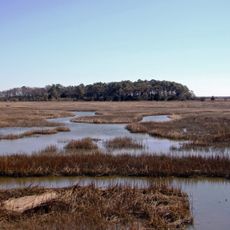
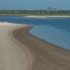
The lighthouse served as a navigation marker for ships entering the harbor and was connected to Cape Charles' growth as a shipping hub. It helped guide vessels along a crucial waterway during the region's maritime expansion.
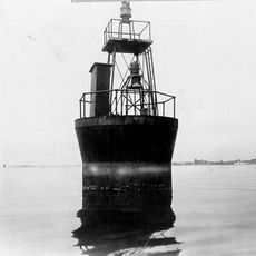
The lighthouse is no longer operational but can be viewed from the water when traveling near Cape Charles along the Chesapeake Bay. Visit during fair weather when waterways are most accessible and visibility is good for seeing the structure.
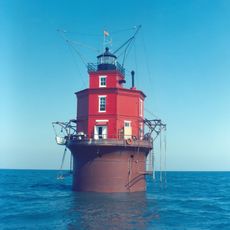
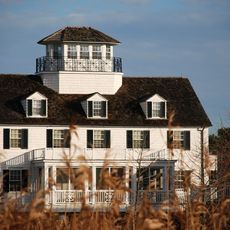
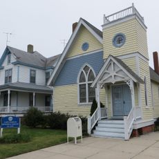
A modern replica of the original now stands at Bay Creek Resort and Club, featuring a restored 1940s fog bell and contemporary lens. This reproduction helps preserve the memory of the working lighthouse for visitors unable to reach the actual structure by water.
The community of curious travelers
AroundUs brings together thousands of curated places, local tips, and hidden gems, enriched daily by 60,000 contributors worldwide.