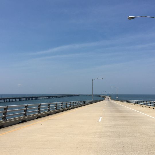
Chesapeake Bay Bridge-Tunnel, Bridge-tunnel complex in Virginia Beach and Northampton County, United States.
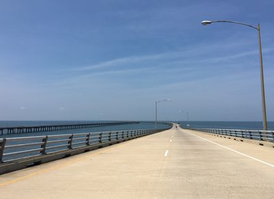
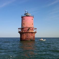
The Chesapeake Bay Bridge-Tunnel is a combined bridge and tunnel system in the state of Virginia that crosses the Chesapeake Bay for roughly 28 kilometers. The structure alternates between elevated roadway sections and underwater passages, with man-made islands serving as transition points between the two levels.
The Chesapeake Bay Bridge–Tunnel opened in 1964, replacing the Little Creek–Cape Charles Ferry that had carried vehicles across the bay since the early 1930s. A project to dualize its bridges was completed in 1999, and in 2017 work began to dualize one of its two tunnels. It was designed by the St. Louis engineering firm Sverdrup & Parcel.
This route marks the geographic divide between the remote Eastern Shore and the rest of Virginia, with the two sections linked by the passage over and under the water. Commuters and travelers use it daily as a practical alternative to the former ferry services that once offered the only way across the bay.
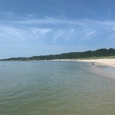
Drivers pay toll charges that vary according to vehicle size and may differ depending on the time of day. The route offers rest areas on the man-made islands, where motorists can stop and take in the view of the water.
The two tunnels pass under the Thimble Shoals and Chesapeake shipping channels, so vessels cross above while US 13 runs beneath the seabed. Each tunnel end is anchored by a man-made island of about 5.25 acres, built to carry the roadway down to the portals.
The community of curious travelers
AroundUs brings together thousands of curated places, local tips, and hidden gems, enriched daily by 94,072 contributors worldwide.