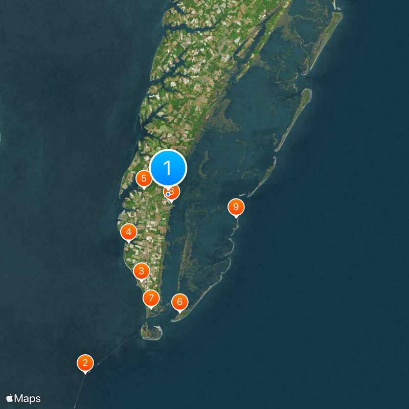
Northampton County, Administrative county in Eastern Shore, Virginia, United States.
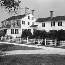
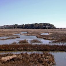
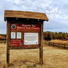
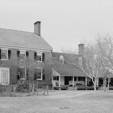
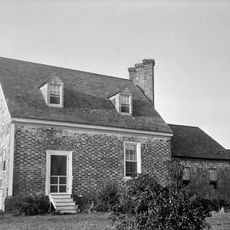
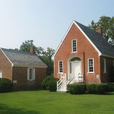
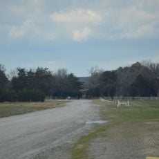
Northampton County is an administrative division spanning Virginia's Eastern Shore peninsula with significant land and water areas throughout the region. The terrain sits at low elevation near sea level, and the county includes several small towns with Eastville serving as the administrative center.
The area was established in 1634 as Accomac Shire and received its current name in 1642. A division in 1663 led to the creation of additional neighboring jurisdictions.
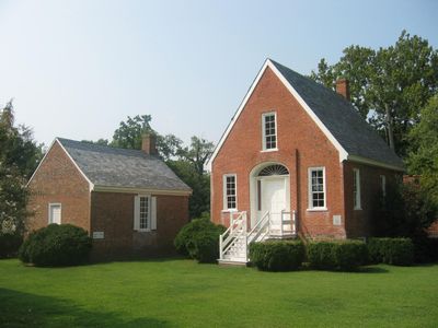
The courthouse in Eastville holds court records continuously since 1632, now stored and displayed in its historic building. Visitors can observe documents spanning centuries of local governance and community decisions preserved within these archives.
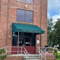
Visitors can find the administrative center in Eastville where public services and information are available. The area is small and easy to navigate, with most key facilities within walking distance.
A court case from 1653 in this county marks a turning point in American colonial history as it legally established permanent servitude for a person without criminal conviction for the first time. This ruling had far-reaching consequences for how labor systems would develop in the region.
The community of curious travelers
AroundUs brings together thousands of curated places, local tips, and hidden gems, enriched daily by 60,000 contributors worldwide.