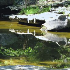
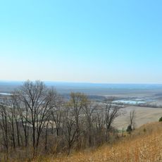
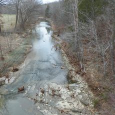
Bois Brule Bottom, Floodplain in Perry County, Missouri, US
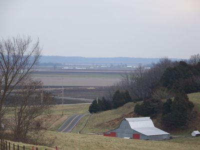
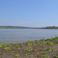
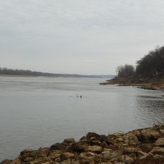
Bois Brule Bottom is a floodplain in Perry County where Bois Brule Creek meets the Mississippi River, creating an area shaped by water and soil interaction. The landscape here contains working farms, pastures, and rural settlements adapted to periodic flooding.
French settlers named this region in the late 1700s, with Jean Baptiste Barsaloux establishing the first settlement in 1787. The area's history of occupation extends back much further to Native American groups who lived and built structures here before European arrival.
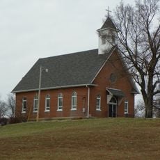
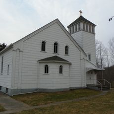
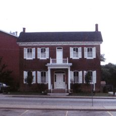
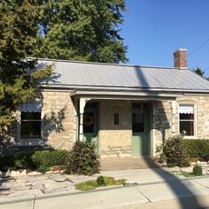
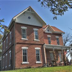
Agricultural communities throughout the area have kept farming at the heart of their daily lives and local identity. Walking through the region, you encounter working farms, cultivated fields, and settlements shaped by generations of rural tradition.
The nutrient-rich soil here supports active farming, but visitors should expect that floods occur regularly and can affect road access throughout the region. It is wise to check weather and water conditions before visiting, especially during rainy seasons.
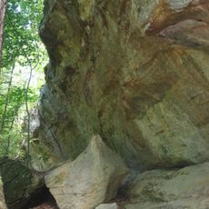
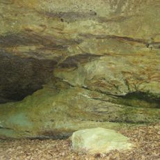
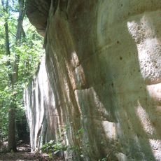
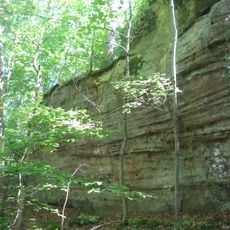
The landscape still bears traces of earthen mounds built by Native American communities before European settlement, scattered along the Mississippi River section. These structures stand as reminders of how early inhabitants shaped and used this riverine land.
The community of curious travelers
AroundUs brings together thousands of curated places, local tips, and hidden gems, enriched daily by 60,000 contributors worldwide.