
Burr Pond, Stausee in den Vereinigten Staaten
Vermont Marble Museum
16.4 km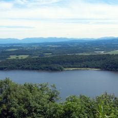
Mount Independence
17.2 km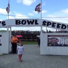
Devil's Bowl Speedway
14 km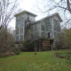
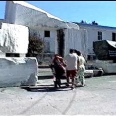
Hyde's Hotel
2.6 km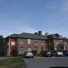
Brandon State School
7.9 km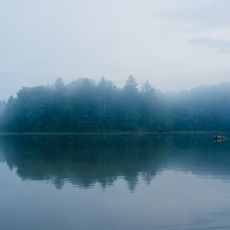
Half Moon Pond State Park
8.1 km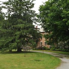
Thomas H. Palmer House
15.9 km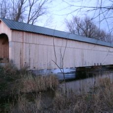
Cedar Swamp Covered Bridge
17 km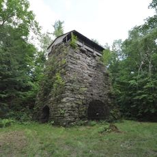
Forest Dale Iron Furnace
13.1 km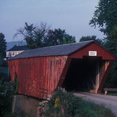
Cooley Covered Bridge
15 km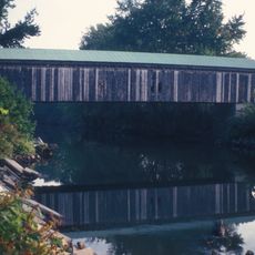
Gorham Covered Bridge
15.1 km
Marble Bridge
16.7 km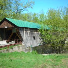
Hammond Covered Bridge
11.6 km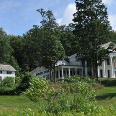
Wilcox-Cutts House
10.3 km
Fort Warren
16.9 km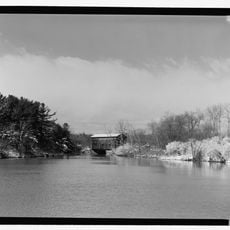
East Shoreham Covered Railroad Bridge
11.9 km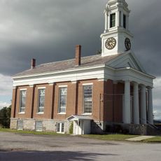
Shoreham Congregational Church
17.2 km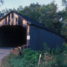
Sanderson Covered Bridge
6.3 km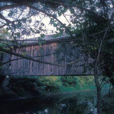
Depot Covered Bridge
12.9 km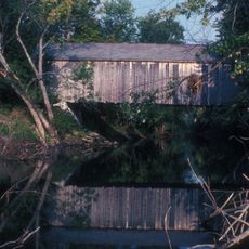
Dean Covered Bridge
7.1 km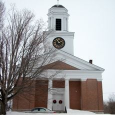
First Congregational Church
10.4 km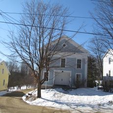
Salisbury Town Hall
15.9 km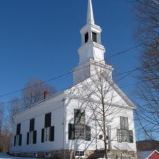
Salisbury Congregational Church
16 km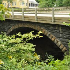
Colburn Bridge
14.6 km
Chipman's Point
15.9 km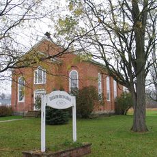
Leicester Meeting House
12.7 km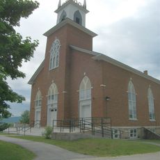
Pittsford Green Historic District
14 km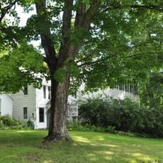
Simeon Smith House
17.2 kmReviews
Visited this place? Tap the stars to rate it and share your experience / photos with the community! Try now! You can cancel it anytime.
Discover hidden gems everywhere you go!
From secret cafés to breathtaking viewpoints, skip the crowded tourist spots and find places that match your style. Our app makes it easy with voice search, smart filtering, route optimization, and insider tips from travelers worldwide. Download now for the complete mobile experience.

A unique approach to discovering new places❞
— Le Figaro
All the places worth exploring❞
— France Info
A tailor-made excursion in just a few clicks❞
— 20 Minutes