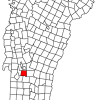
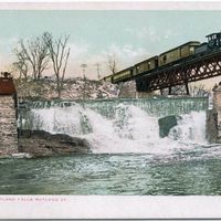
Rutland County, Administrative division in Vermont, US
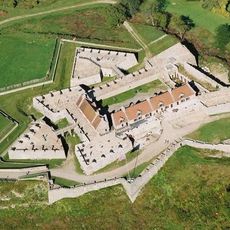
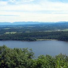
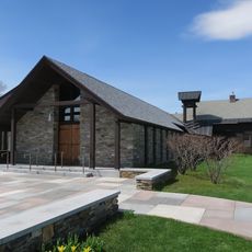
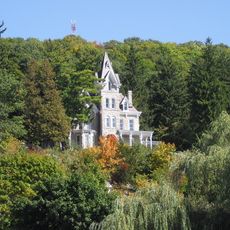
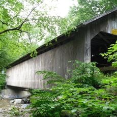
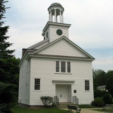
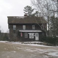
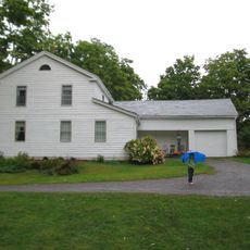
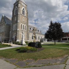
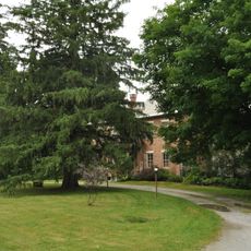
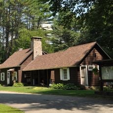
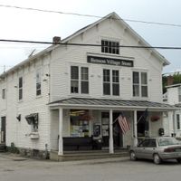
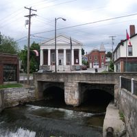
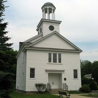
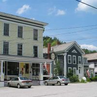
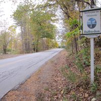
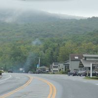
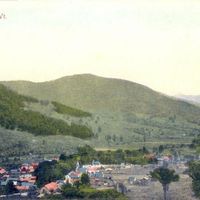
Rutland County is an administrative division in Vermont spanning multiple towns and villages with varied terrain including mountains, valleys, and rural settlements. The region encompasses places like Killington, Brandon, and Castleton along with smaller communities that together create a diverse landscape.
Rutland County was established in 1781, marking an important administrative milestone in Vermont's early statehood following the American Revolution. The creation of the county reflected Vermont's efforts to organize its territory and establish local governance structures.
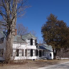
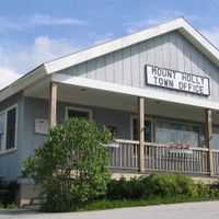
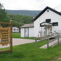
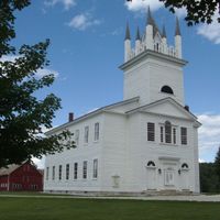
The communities within Rutland County maintain their local identities through regular municipal meetings, civic initiatives, and public participation in regional development projects.
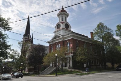
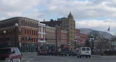
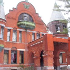
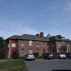
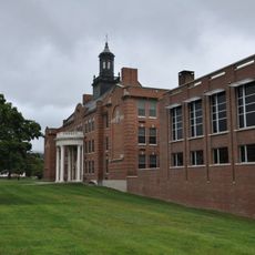
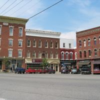
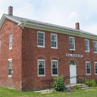
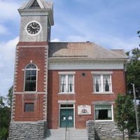
The city of Rutland serves as the county seat providing administrative services and public facilities for the entire region. Visitors can find government buildings, public services, and information centers that help with navigation and regional questions.
The county implements specific programs like the Rental Rehab Revolving Loan Fund to enhance housing conditions and stimulate urban development across its territory.
Location: Vermont
Inception: 1781
Capital city: Rutland
Elevation above the sea: 155 m
Shares border with: Addison County, Windsor County, Bennington County, Washington County
Website: https://rutlandvermont.com
GPS coordinates: 43.58009,-73.03661
Latest update: December 20, 2025 11:41
Fort Ticonderoga
40.6 km
Killington Peak
17.7 km
Fort Carillon
40.6 km
Coolidge Homestead
25.8 km
Wilson Castle
3.7 km
Vermont Marble Museum
9.3 km
Mount Independence
39 km
Weston Priory
33.4 km
Devil's Bowl Speedway
22.9 km
Pico Peak
17.4 km
Dorset Mountain
30.2 km
Skene Manor
29.4 km
Brown Covered Bridge
9.6 km
Gifford Woods State Park
21.1 kmDelaware and Hudson Rail Trail
15.8 km
Coolidge State Park
27.3 km
Castleton Medical College Building
11.9 km
Hyde's Hotel
26.3 km
Brandon State School
26.4 km
Paramount Theatre
5.5 km
Crowley Cheese Factory
26.6 kmBomoseen State Park
17.8 km
William Miller Chapel and Ascension Rock
22.3 km
Half Moon Pond State Park
20 km
St. Peter's Church and Mount St. Joseph Convent Complex
4.8 km
Thomas H. Palmer House
13.6 km
Wilgus State Park
17.5 km
Ticonderoga High School
42.9 kmVisited this place? Tap the stars to rate it and share your experience / photos with the community! Try now! You can cancel it anytime.
Discover hidden gems everywhere you go!
From secret cafés to breathtaking viewpoints, skip the crowded tourist spots and find places that match your style. Our app makes it easy with voice search, smart filtering, route optimization, and insider tips from travelers worldwide. Download now for the complete mobile experience.
A unique approach to discovering new places❞
— Le Figaro
All the places worth exploring❞
— France Info
A tailor-made excursion in just a few clicks❞
— 20 Minutes