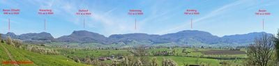
Swabian Jura, Mountain range in Baden-Württemberg, Germany.
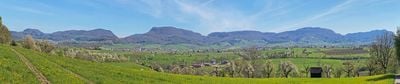
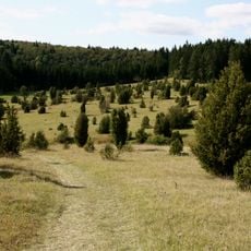
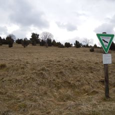
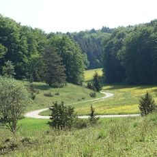
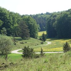
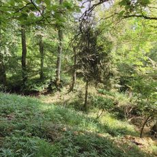
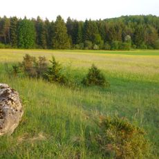
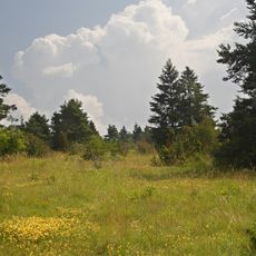
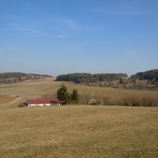
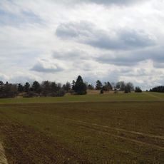
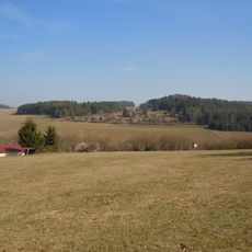
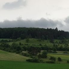
The Swabian Jura is a limestone low mountain range in southwestern Germany that stretches diagonally for around 200 kilometers from southwest to northeast, rising to 1,015 meters (3,330 feet) at Lemberg peak. The terrain consists of gentle high plateaus cut by deep, steep valleys, with the northern side often dropping off sharply and the southern side gradually descending into the Danube basin.
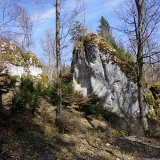
The limestone that forms the range was deposited between roughly 200 and 145 million years ago in a warm, shallow sea that covered much of central Europe. The present landscape took shape through uplift and subsequent erosion over the last few million years, as rivers and weathering carved out the valleys and high plateaus.
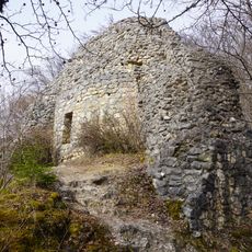
The caves along the northern edge of the range preserve some of the oldest art objects created by humans, including flute fragments and carved figures made from mammoth ivory. Visitors can enter several show caves and see the sites where people lived under rock overhangs tens of thousands of years ago.
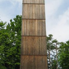
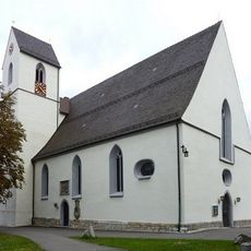
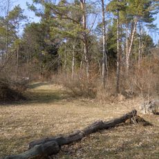
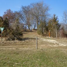
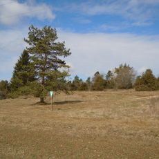
Visitors can explore the range on the Albsteig, a 365-kilometer long-distance hiking trail that runs in 25 stages from Donauwörth to Tuttlingen. The paths are well marked and connect towns, viewpoints and caves, with most sections suitable for less experienced hikers as well.
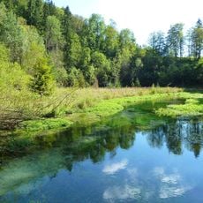
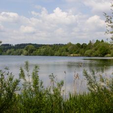
The porous limestone structure stores very little surface water, so streams and rivers often disappear suddenly underground and reemerge kilometers away. Some of these sunken watercourses form underground cave systems that are open to the public and offer a look into the hidden hydrology of the range.
The community of curious travelers
AroundUs brings together thousands of curated places, local tips, and hidden gems, enriched daily by 60,000 contributors worldwide.