Enable Location

We need your location to show you interesting places around you

Discover nearby places

Find interesting locations and hidden gems around you

Precise directions

Get accurate directions and distances to places

Your location is never shared with other users. It's only used when you tap the location button.

Waltershausen

Log in to your account

Start exploring — it's free

Trusted by 62,984 travelers worldwide

Continue with Google
Continue with Apple
or

We will send you a code to connect

By continuing, you accept our Terms and Conditions and our Privacy Policy

Check your inbox

We've sent a pincode in your inbox. Please enter the code below.

Discussion Reviews 1 Photos
25.2k Popularity

Waltershausen, Urban municipality in Gotha district, Germany.

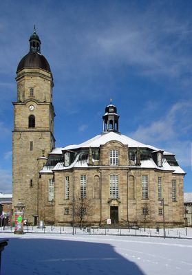
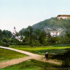
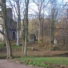
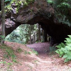
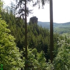
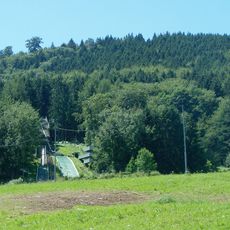
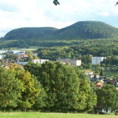
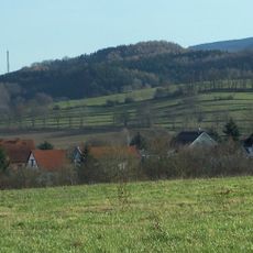
Waltershausen is an urban municipality in Gotha district, located in southwestern Thuringia and characterized by mixed landscapes of fields and forested areas. The settlement clusters around Tenneberg Castle, with additional neighborhoods spread throughout the municipality's territory.

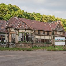
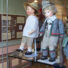
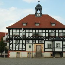
The settlement was first documented in 1209, though Tenneberg Castle, which influenced its development, was founded in 1167. The 19th century brought a transformation into a doll manufacturing hub, giving the area a new economic character.

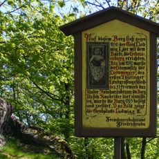
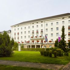
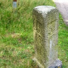
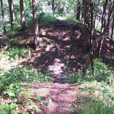
Tenneberg Castle stands as a visual landmark that shapes the town's character and draws visitors interested in local heritage. The surrounding area is used by residents and tourists for walking and exploring the nearby natural landscape.

The area connects easily to the surrounding region through the A4 highway for drivers, while the Thüringer Waldbahn railway offers an alternative for those arriving by train. From either arrival point, visitors can easily plan walks and exploration of the local sites.

During the 1800s, the area became known as a major center for doll production, an unexpected specialization that shaped its economy. This history of toy-making remains a surprising chapter in the locality's past that many visitors overlook when arriving.

The community of curious travelers

AroundUs brings together thousands of curated places, local tips, and hidden gems, enriched daily by 60,000 contributors worldwide.

Start exploring
Location
Elevation above the sea
320 m
Shares border with
Bad Tabarz, Friedrichroda, Leinatal, Hörsel, Hörselberg-Hainich, Seebach, Ruhla, Bad Liebenstein, Brotterode-Trusetal
Phone
GPS coordinates
50.89750,10.55583
Latest update
December 20, 2025 11:29
Reviews
Share your experience

No review yet

Discussions
Start a discussion...

No discussion yet

« Waltershausen - Urban municipality in Gotha district, Germany » is provided by Around Us (aroundus.com). Images and texts are derived from Wikimedia project under a Creative Commons license. You are allowed to copy, distribute, and modify copies of this page, under the conditions set by the license, as long as this note is clearly visible.

Discover hidden gems everywhere you go!

From secret cafés to breathtaking viewpoints, skip the crowded tourist spots and find places that match your style. Our app makes it easy with voice search, smart filtering, route optimization, and insider tips from travelers worldwide. Download now for the complete mobile experience.

Around Us App Screenshot

A unique approach to discovering new places

Le Figaro

All the places worth exploring

France Info

A tailor-made excursion in just a few clicks

20 Minutes

Around Us
Travel Guide & Maps
Download

Send to your phone

QR Code
1

Open the camera app on your mobile.

2

Point at the QR code with your camera. A notification will appear.

3

Tap the notification to open the link.