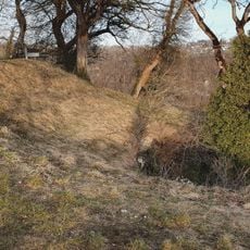
Ruine Sperberseck, Medieval castle ruin in Lenningen, Germany
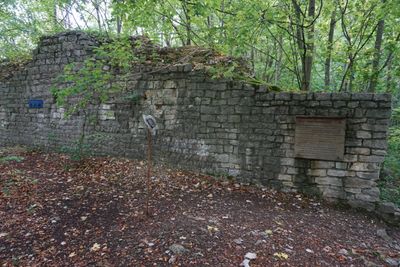
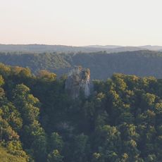
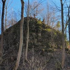
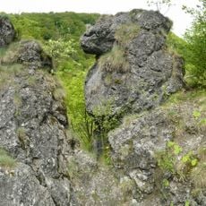
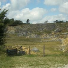
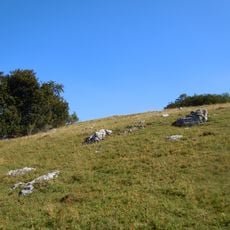
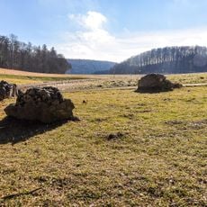
Ruine Sperberseck is a medieval castle ruin perched on a steep rocky ridge near Lenningen in Baden-Württemberg. The site preserves stone foundations and walls from the original fortress, including a defensive wall that extends over 20 meters and stands roughly 3 meters thick.
Berthold von Sperberseck founded this fortress around 1090, using it as a noble residence. The castle was eventually abandoned in the early 15th century and gradually fell into ruin.
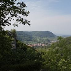
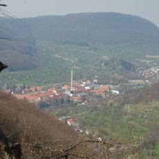
The ruins show construction methods from the Staufer period, with their placement high on the ridge reflecting how medieval builders thought about defense and control. Walking around the site, you can see why the location made sense for people who needed to watch over the valley below.
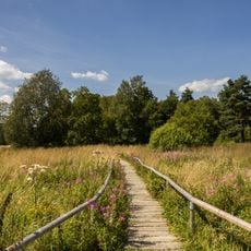
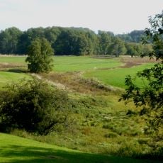
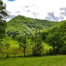
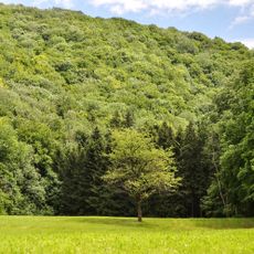
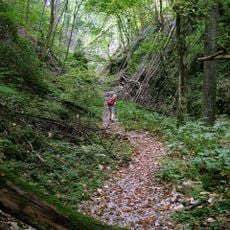
The ruins are reached via marked hiking trails from the Donntal valley, requiring sturdy hiking boots due to steep and uneven paths. The location sits within the Swabian Alb Biosphere Reserve, where visitors can also find other natural features to explore.
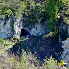
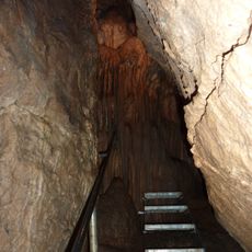
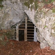
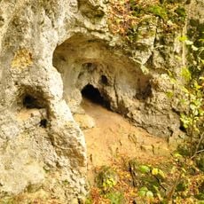
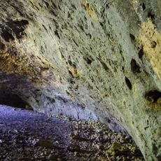
Beneath the castle lies the Mondmilchhöhle cave, which contains white calcite crystals that shimmer like moonlight. This underground feature is part of the biosphere reserve and makes the area a place where geology and history come together.
The community of curious travelers
AroundUs brings together thousands of curated places, local tips, and hidden gems, enriched daily by 60,000 contributors worldwide.