Enable Location

We need your location to show you interesting places around you

Discover nearby places

Find interesting locations and hidden gems around you

Precise directions

Get accurate directions and distances to places

Your location is never shared with other users. It's only used when you tap the location button.

Rindalphorn

Log in to your account

Start exploring — it's free

Trusted by 66,157 travelers worldwide

Continue with Google
Continue with Apple
or

We will send you a code to connect

By continuing, you accept our Terms and Conditions and our Privacy Policy

Check your inbox

We've sent a pincode in your inbox. Please enter the code below.

Rindalphorn
Discussion Reviews 1 Photos
3k Popularity

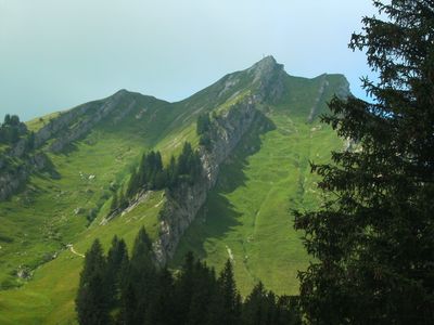
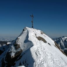
Rindalphorn, Mountain summit in Bavaria, Germany

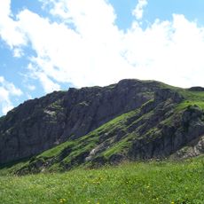
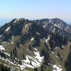
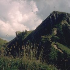
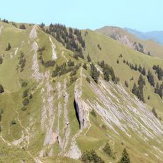
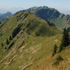
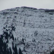
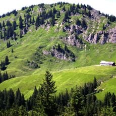
Rindalphorn is a mountain summit in the Nagelfluhkette ridge in the Allgäu Alps, Bavaria, Germany, and is the second highest peak along that ridge. The terrain around the top combines rocky outcrops, grassy slopes, and narrow paths that run along the crest of the ridge.

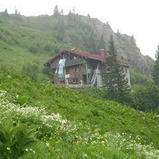
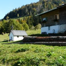
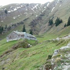
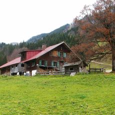
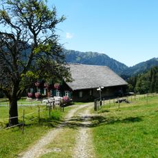
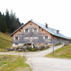
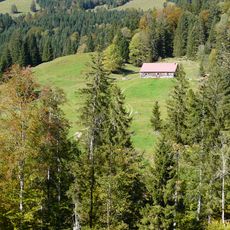
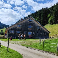
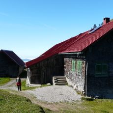
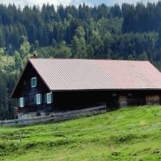
The Nagelfluhkette ridge, of which this summit is part, served for centuries as a natural boundary between the Bavarian Allgäu and the Austrian Bregenzer Wald. The area on both sides of the ridge was used by farmers and herders who moved their animals up to the high pastures each summer.

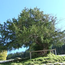
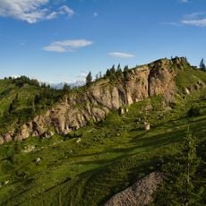
The name Rindalphorn comes from an old alpine pasture nearby, pointing to a long tradition of summer cattle farming in this part of the Alps. A small summit cross marks the top, as is common across the Bavarian Alps, and hikers often stop there to rest and take in the view.

Getting to the top involves sections of rocky trail with fixed ropes and steep drop-offs, so sure footing and a head for heights are necessary. Starting early in the day is a good idea, as conditions on the ridge can change quickly by afternoon.

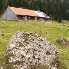
The Nagelfluhkette is one of the few ridges in the Alps made almost entirely of Nagelfluh, a type of conglomerate rock formed from rounded pebbles pressed together over millions of years. You can see this rock clearly in the cliff faces near the summit, where the pebbles are visible in the stone like a natural mosaic.

The community of curious travelers

AroundUs brings together thousands of curated places, local tips, and hidden gems, enriched daily by 60,000 contributors worldwide.

Start exploring
Location
Elevation above the sea
1,821 m
GPS coordinates
47.50497,10.10779
Latest update
March 3, 2026 13:52
Reviews
Share your experience

No review yet

Discussions
Start a discussion...

No discussion yet

« Rindalphorn - Mountain summit in Bavaria, Germany » is provided by Around Us (aroundus.com). Images and texts are derived from Wikimedia project under a Creative Commons license. You are allowed to copy, distribute, and modify copies of this page, under the conditions set by the license, as long as this note is clearly visible.

Discover hidden gems everywhere you go!

From secret cafés to breathtaking viewpoints, skip the crowded tourist spots and find places that match your style. Our app makes it easy with voice search, smart filtering, route optimization, and insider tips from travelers worldwide. Download now for the complete mobile experience.

Around Us App Screenshot

A unique approach to discovering new places

Le Figaro

All the places worth exploring

France Info

A tailor-made excursion in just a few clicks

20 Minutes

Around Us
Travel Guide & Maps
Download

Send to your phone

QR Code
1

Open the camera app on your mobile.

2

Point at the QR code with your camera. A notification will appear.

3

Tap the notification to open the link.