Enable Location

We need your location to show you interesting places around you

Discover nearby places

Find interesting locations and hidden gems around you

Precise directions

Get accurate directions and distances to places

Your location is never shared with other users. It's only used when you tap the location button.

Weiherberg

Log in to your account

Start exploring — it's free

Trusted by 62,850 travelers worldwide

Continue with Google
Continue with Apple
or

We will send you a code to connect

By continuing, you accept our Terms and Conditions and our Privacy Policy

Check your inbox

We've sent a pincode in your inbox. Please enter the code below.

Weiherberg

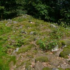
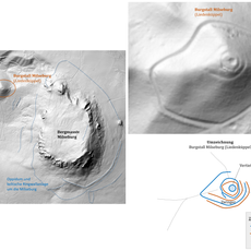
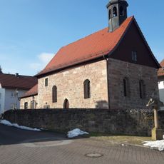
Weiherberg, Mountain summit in Fulda district, Germany

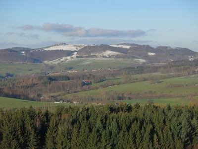
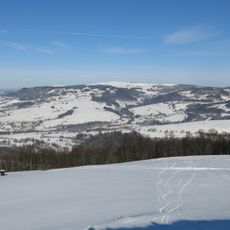
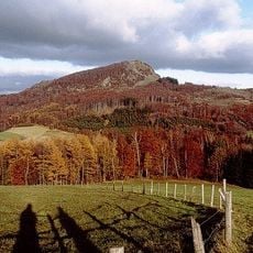
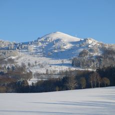
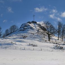
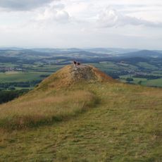
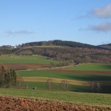
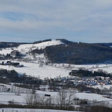
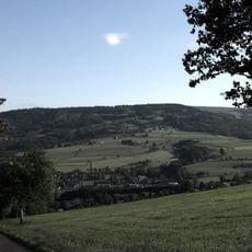
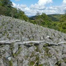
Weiherberg is a mountain reaching approximately 786 meters in elevation within the Rhön range near Fulda. Its summit offers views across surrounding valleys and neighboring peaks in the region.

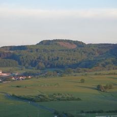
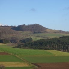
The mountain served as a boundary marker between settlements in the Wasserkuppenrhön region during medieval times. Its central location made it an important landmark for the communities in the area.

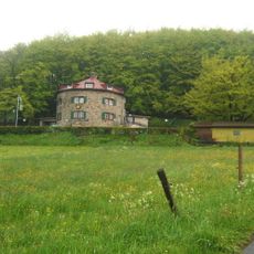
The Enzianhütte mountain shelter is run by the local Alpine Club section and serves as a gathering point for hikers on the mountain. The shelter reflects how communities maintain outdoor traditions and support visitors exploring the region.

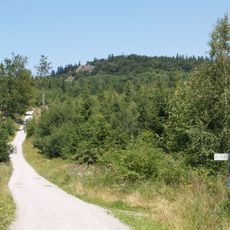
Several marked trails lead to the summit from different starting points, offering various difficulty levels and route lengths. The long-distance paths E3 and E6 pass near the mountain and connect it to a broader hiking network.

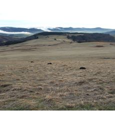
The northern slope is used as a launching area by glider pilots who take advantage of natural thermal conditions rising from the valley. This creates an unusual blend of outdoor recreation where visitors might observe aircraft activity alongside hiking.

The community of curious travelers

AroundUs brings together thousands of curated places, local tips, and hidden gems, enriched daily by 60,000 contributors worldwide.

Start exploring
Elevation above the sea
785.7 m
GPS coordinates
50.51855,9.91232
Latest update
December 14, 2025 20:31
« Weiherberg - Mountain summit in Fulda district, Germany » is provided by Around Us (aroundus.com). Images and texts are derived from Wikimedia project under a Creative Commons license. You are allowed to copy, distribute, and modify copies of this page, under the conditions set by the license, as long as this note is clearly visible.

Discover hidden gems everywhere you go!

From secret cafés to breathtaking viewpoints, skip the crowded tourist spots and find places that match your style. Our app makes it easy with voice search, smart filtering, route optimization, and insider tips from travelers worldwide. Download now for the complete mobile experience.

Around Us App Screenshot

A unique approach to discovering new places

Le Figaro

All the places worth exploring

France Info

A tailor-made excursion in just a few clicks

20 Minutes

Around Us
Travel Guide & Maps
Download

Send to your phone

QR Code
1

Open the camera app on your mobile.

2

Point at the QR code with your camera. A notification will appear.

3

Tap the notification to open the link.