Azazga, place in Tizi Ouzou Province, Algeria
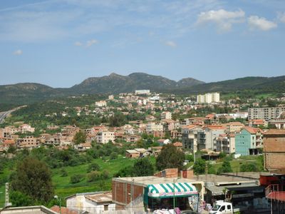
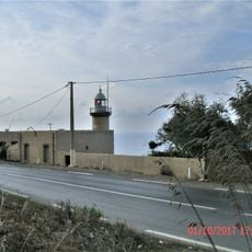
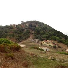
Azazga is a town in northern Algeria that sits on a hill surrounded by the rugged mountains of the Kabyle region. Compact houses, narrow winding streets, and small gardens with olives, figs, and herbs shape the landscape, while fresh mountain air and the sounds of daily activity define the environment.
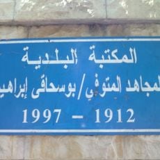
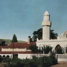
The town developed as a canton capital under French rule starting in 1882 and played a central role during the Algerian War of Independence. After independence, it remained a center of local protest and resistance, reflecting its long history of fighting for rights and self-determination.
The name Azazga comes from the Kabyle language and means "the deaf persons", recalling local resistance to outside rule. In homes and markets, traditional crafts like woven baskets, pottery, and embroidered fabrics with Berber patterns remain part of everyday life and are actively practiced by many residents.
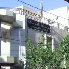
The town is easily reached by bus or taxi from Tizi Ouzou or Algiers and has basic amenities like markets, cafes, and small shops. The older areas and their narrow streets are walkable, and modest guesthouses and hotels are available for overnight stays.
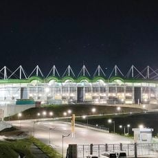
The town has a strong football tradition and is home to one of Algeria's oldest sports clubs, Jeunesse Sportive Azazga, founded in 1946. This club and other local sports teams run deep roots in the community and bring people together while reflecting the strength of local identity.
The community of curious travelers
AroundUs brings together thousands of curated places, local tips, and hidden gems, enriched daily by 60,000 contributors worldwide.