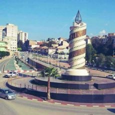
Lakhdaria, human settlement in Algeria
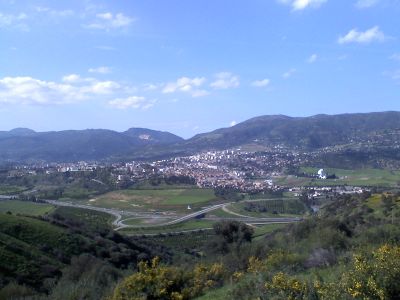
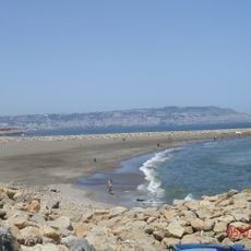
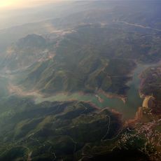
Lakhdaria is a small commune in the Kabylie mountains of northern Algeria, located in Bouira Province. The town sits near the Oued Isser river and is surrounded by rocky grottoes carved naturally into the limestone cliffs that define the local landscape.
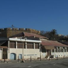
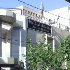
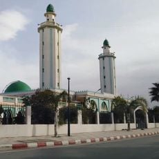
Lakhdaria has been part of the region's story for many years, with deep roots in the Kabylie mountains. Over time the town has evolved, but it preserves old buildings and local customs that reflect its past connection to the land and traditional ways of life.
The name Lakhdaria reflects the local connection to this mountain region and its people. You will notice residents gathering in open spaces and small cafes, sharing meals and maintaining traditional crafts like pottery and weaving as part of daily life.
The town is best explored on foot as the streets are simple and the area is compact, taking only a few hours to see the main parts. Wear comfortable shoes for walking and hiking to nearby grottoes and mountain trails, and check weather conditions before outdoor activities, especially in summer.
The Oued Isser river flows through the area creating a gentle water backdrop, while the natural grottoes in the limestone cliffs show how erosion has shaped the landscape over centuries. This geological story is visible to visitors and makes each walk through the surrounding terrain a lesson in how nature works.
The community of curious travelers
AroundUs brings together thousands of curated places, local tips, and hidden gems, enriched daily by 60,000 contributors worldwide.