Enable Location

We need your location to show you interesting places around you

Discover nearby places

Find interesting locations and hidden gems around you

Precise directions

Get accurate directions and distances to places

Your location is never shared with other users. It's only used when you tap the location button.

Aborrebjerg

Log in to your account

Start exploring — it's free

Trusted by 62,529 travelers worldwide

Continue with Google
Continue with Apple
or

We will send you a code to connect

By continuing, you accept our Terms and Conditions and our Privacy Policy

Check your inbox

We've sent a pincode in your inbox. Please enter the code below.

Aborrebjerg

Aborrebjerg, hill in Vordingborg Municipality, Denmark

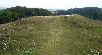
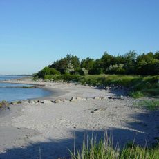
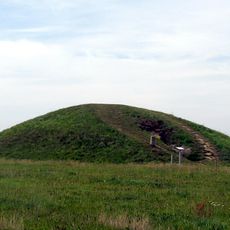
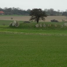
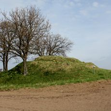
Aborrebjerg is a hill on the island of Møn in Denmark that rises to 143 meters above sea level and is the island's highest point. The slopes are covered with woodlands and juniper shrubs, with a round stone marker at the summit from where the surrounding landscape stretches out in all directions.

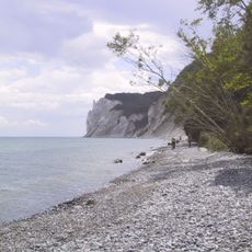
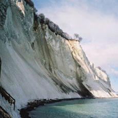
Aborrebjerg was formed through geological processes during the ice age, when movements in the earth's crust lifted layers of limestone that had formed during the Cretaceous period. The hill has long served as a natural landmark for people in the region.

Aborrebjerg serves as a local landmark that appears in conversations about Møn's landscape and guides people to this elevated spot. The hill functions as a gathering place for nature walkers who come to experience the open views and the quiet surroundings that define the island's character.

Aborrebjerg is easily reached via marked hiking trails that wind through woodlands and scrubland, suitable for casual walkers and experienced hikers alike. The hill has no buildings or extensive facilities, so visiting on clear days helps you enjoy the wide views to their fullest.

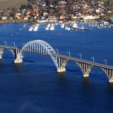
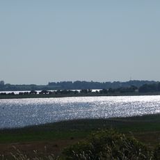
On clear days, visitors can see several landmarks from the summit, including the Queen Alexandrine Bridge that connects the islands. The view also stretches toward the town of Stevns to the north, revealing the expansive landscape that defines the island of Møn.

The community of curious travelers

AroundUs brings together thousands of curated places, local tips, and hidden gems, enriched daily by 60,000 contributors worldwide.

Start exploring
Elevation above the sea
143 m
GPS coordinates
54.98140,12.52976
Latest update
February 9, 2026 08:20
« Aborrebjerg - hill in Vordingborg Municipality, Denmark » is provided by Around Us (aroundus.com). Images and texts are derived from Wikimedia project under a Creative Commons license. You are allowed to copy, distribute, and modify copies of this page, under the conditions set by the license, as long as this note is clearly visible.

Discover hidden gems everywhere you go!

From secret cafés to breathtaking viewpoints, skip the crowded tourist spots and find places that match your style. Our app makes it easy with voice search, smart filtering, route optimization, and insider tips from travelers worldwide. Download now for the complete mobile experience.

Around Us App Screenshot

A unique approach to discovering new places

Le Figaro

All the places worth exploring

France Info

A tailor-made excursion in just a few clicks

20 Minutes

Around Us
Travel Guide & Maps
Download

Send to your phone

QR Code
1

Open the camera app on your mobile.

2

Point at the QR code with your camera. A notification will appear.

3

Tap the notification to open the link.