Ciudad Real

Log in to your account

AroundUs is a community-driven map of interesting places, built by curious explorers like you. It grows with every review, story, and photo you share.
Connect to save your favorite spots, contribute locations, and create personalized routes.
Continue with Google
Continue with Apple
Continue with X
Continue with Facebook
Continue with email
By continuing, you accept our Terms and Conditions and our Privacy Policy
Create an account
Add to collection
Map
Suggest a change
Share

Ciudad Real, Municipality in Castilla-La Mancha, Spain

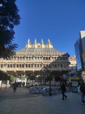
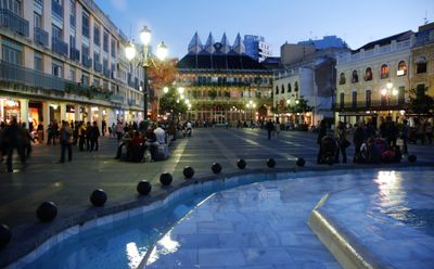
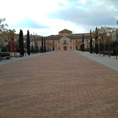
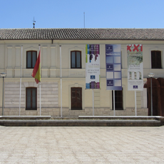
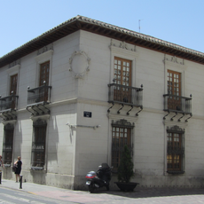
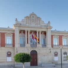
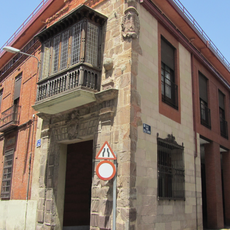
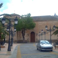
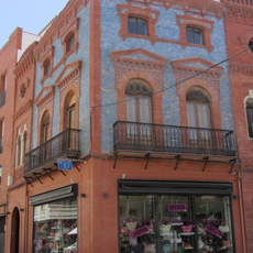
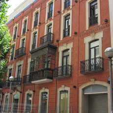
Ciudad Real lies on the southern part of the central Castilian plateau at an elevation of 625 meters and organizes itself around Plaza Mayor. The urban center displays wide streets, rectangular squares, and buildings from different periods that shape the character of a provincial capital.

King Alfonso X founded Villa Real in 1255 as a royal settlement to strengthen control over the region and limit the power of the Military Order of Calatrava. The settlement received city status and its current name in 1420, consolidating its position as a regional center.

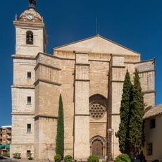
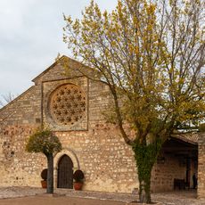
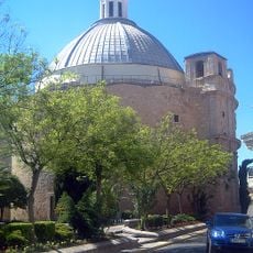
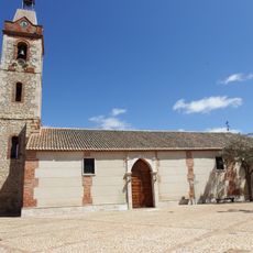
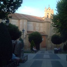
The 14th-century Church of San Pedro displays Gothic features and holds several baroque altarpieces inside. Visitors can observe religious processions throughout the year that keep the local Holy Week tradition alive and involve residents of all ages.

The high-speed train connection to Madrid takes about 50 minutes, and regional trains reach other towns across Castilla-La Mancha. The city center is easy to walk around, and most sights lie less than 15 minutes apart from each other.

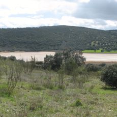
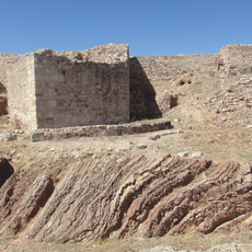
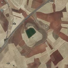
The surrounding area contains over 300 volcanic structures, including cinder cones and maars, forming a striking geological landscape. Some of these formations lie just a few kilometers from the city and offer a glimpse into the volcanic past of the region.

Location: Province of Ciudad Real

Capital city: Ciudad Real City

Elevation above the sea: 657 m

Part of: Mancomunitat de Serveis Gasset espanyol, Mancomunitat «Tierra de Caballeros y Tablas de Daimiel»

Shares border with: Alcolea de Calatrava, Ballesteros de Calatrava, Miguelturra, Carrión de Calatrava

Address: Ciudad Real, Spain

Website: https://ciudadreal.es

GPS coordinates: 38.98542,-3.92851

Latest update: December 15, 2025 00:34

Photos
Reviews

Visited this place? Tap the stars to rate it and share your experience / photos with the community! Try now! You can cancel it anytime.

« Ciudad Real - Municipality in Castilla-La Mancha, Spain » is provided by Around Us (aroundus.com). Images and texts are derived from Wikimedia project under a Creative Commons license. You are allowed to copy, distribute, and modify copies of this page, under the conditions set by the license, as long as this note is clearly visible.

Discover hidden gems everywhere you go!

From secret cafés to breathtaking viewpoints, skip the crowded tourist spots and find places that match your style. Our app makes it easy with voice search, smart filtering, route optimization, and insider tips from travelers worldwide. Download now for the complete mobile experience.

Around Us App Screenshot

A unique approach to discovering new places

Le Figaro

All the places worth exploring

France Info

A tailor-made excursion in just a few clicks

20 Minutes