Robledillo de Gata, municipality of Spain
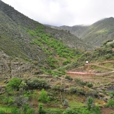
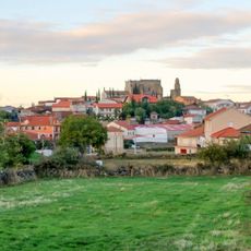
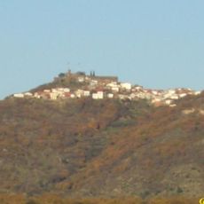
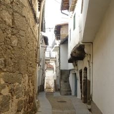
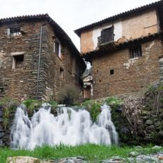
Robledillo de Gata is a small village in Caceres Province in Extremadura, located in a valley of the Sierra de Gata and surrounded by steep hills. The houses are made of stone, wood, and adobe, built at different levels on the slope, while the streets are narrow and winding, passing under arches and covered walkways.
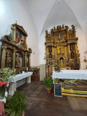
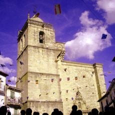
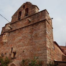
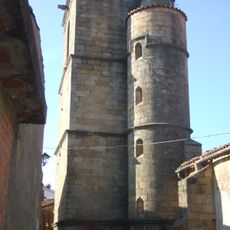
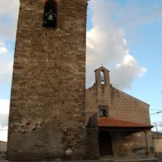
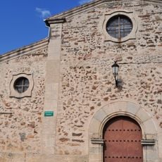
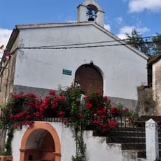
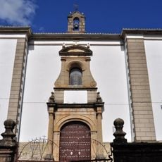
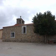
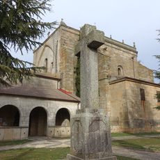
The village was founded centuries ago and shows a long history of rural settlement. The church Nuestra Señora de la Asuncion was built in the 16th century, along with three smaller chapels from the 17th century that form the religious core of the community.
The village's name refers to the oak trees of the Sierra de Gata that shape the landscape. Residents keep traditions tied to the seasons and religious festivals, where the community gathers together on the streets.
The village is small and easy to explore on foot, with all areas within quick reach. The steep streets require good footwear and some stamina when walking through the passages.
The church has a rare hexagonal shape rather than the usual rectangular form, making it unusual among similar village churches. Bible inscriptions are carved into the columns, which is remarkable for such a simple structure.
The community of curious travelers
AroundUs brings together thousands of curated places, local tips, and hidden gems, enriched daily by 60,000 contributors worldwide.