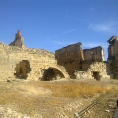
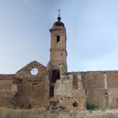
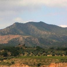
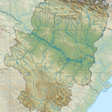
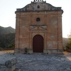
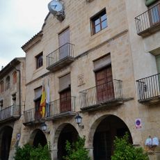
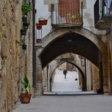
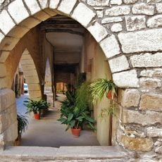
Algars, river in Spain
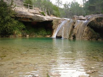
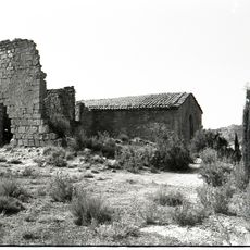
The Algars is a river that marks the border between Aragón and Catalonia and originates from karst springs in the Beceite Mountains. As it flows, it passes through sandy rock formations that break up the water's movement and create deep pools before joining the Matarraña River at Nonaspe.
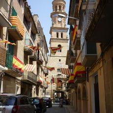
The river was an important water source for irrigation during the Moorish occupation of the region. Its importance has remained constant over centuries, and it continues to support local farming today while shaping the history of surrounding communities.
The river has long served as a water source for local communities. Today, visitors can see how the flow shapes daily life and how people use the landscape for both work and leisure.
El Galeró near Arens de Lledó offers an easily accessible swimming area with natural pools perfect for cooling off during hot months. Visitors should know that access and conditions vary by season, so it helps to plan according to local circumstances.
Otters are the hallmark of a healthy river and can be spotted along the Algars, making it a noteworthy habitat. The river has been designated as a site of community importance to protect its natural ecosystems and wildlife for future generations.
The community of curious travelers
AroundUs brings together thousands of curated places, local tips, and hidden gems, enriched daily by 60,000 contributors worldwide.