
Cardón, triangulation station in Pájara, Spain
Location: Pájara
Elevation above the sea: 695.105 m
GPS coordinates: 28.25702,-14.15818
Latest update: May 21, 2025 02:28
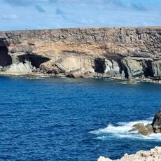
Ajuy Caves
16.3 km
Rio Calma Artificial Beach
11.1 km
Oasis Park
8 km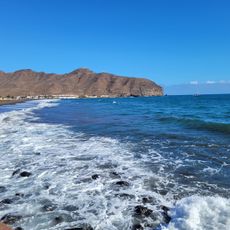
Playa de Gran Tarajal
14.6 km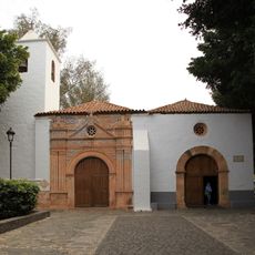
Iglesia de Nuestra Señora de Regla
11.6 km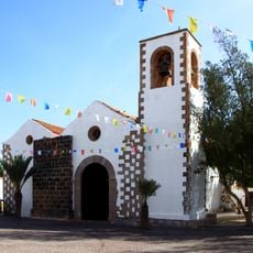
Tuineje church
13.1 km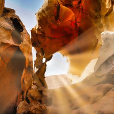
Arco de las Peñitas
15.9 km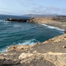
Playa de la Pared
7.5 km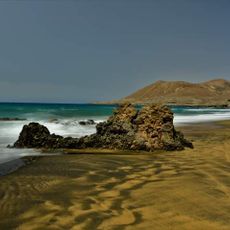
Playa de la Solapa
12 km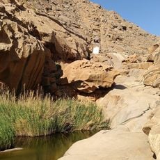
Barranco de las Peñitas
16.5 km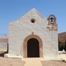
Ermita de Nuestra Senora de Guadalupe
17.9 km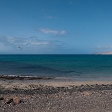
Playa de la Jaqueta
9.5 km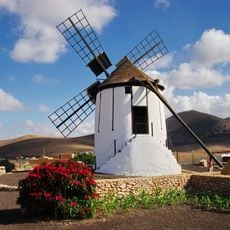
Windmill in Tiscamanita
16.1 km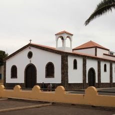
Iglesia de la Inmaculada Concepción
8.2 km
Playa de Costa Calma
12.8 km
Playa de los Muertes
15 km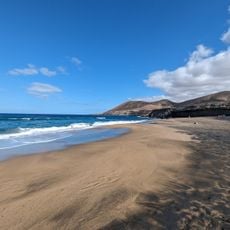
La Solapa
11.9 km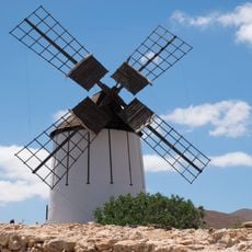
Molino de Tiscamanita
15.9 km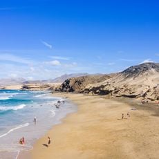
Viejo Rey Beach
8.4 km
Playa de las Hermosas
5.8 km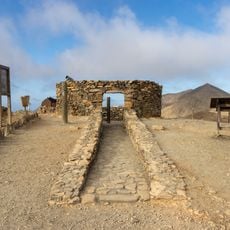
Astronomical viewpoint Sicasumbre
3.4 km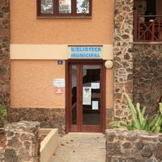
Biblioteca Pública Municipal de Pájara
11.7 km
Giniginámar
10.3 km
Playa de la Pared
7.6 km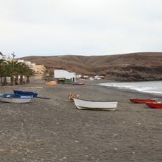
La Lajita
8.4 km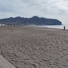
Gran Tarajal
14.5 km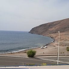
Playa del Aceituno
13.6 km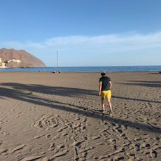
Playa del Pajarito
17.9 kmReviews
Visited this place? Tap the stars to rate it and share your experience / photos with the community! Try now! You can cancel it anytime.
Discover hidden gems everywhere you go!
From secret cafés to breathtaking viewpoints, skip the crowded tourist spots and find places that match your style. Our app makes it easy with voice search, smart filtering, route optimization, and insider tips from travelers worldwide. Download now for the complete mobile experience.

A unique approach to discovering new places❞
— Le Figaro
All the places worth exploring❞
— France Info
A tailor-made excursion in just a few clicks❞
— 20 Minutes