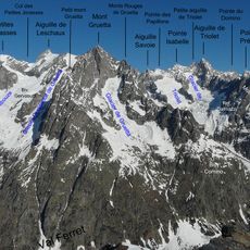
Aiguille Savoie, Alpine summit at France-Italy border, Chamonix-Mont-Blanc.
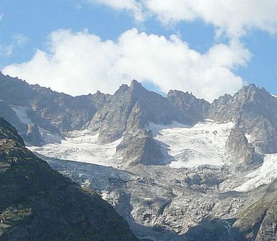
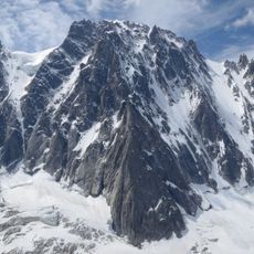
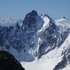
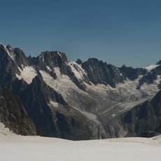
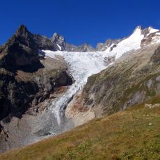
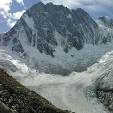
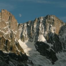
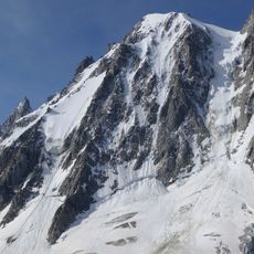
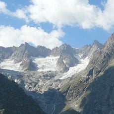
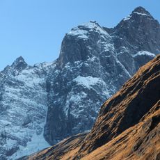
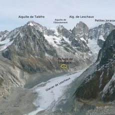
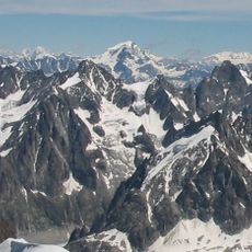
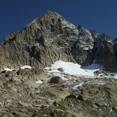
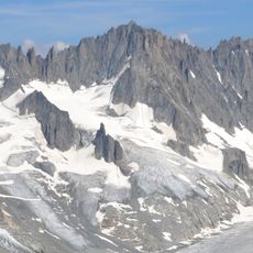
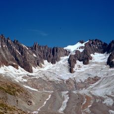
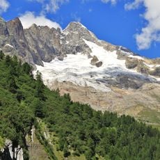
Aiguille Savoie is a rocky summit standing at around 3600 meters in the Mont Blanc massif, positioned on the border between France and Italy. The peak displays steep granite faces and snow fields that persist year-round, with climbing routes accessible from both the Chamonix and Courmayeur valleys.
The mountain became part of France in 1860 following the Treaty of Turin, when the Savoy region transferred from the Kingdom of Sardinia to French control. This border agreement established the peak as a lasting geographical division between the two nations.
The summit brings together climbers and guides from both the French and Italian sides of the Alps, where shared routes and climbing practices connect the two communities. This cross-border tradition remains visible in how people from Chamonix and Courmayeur continue to work and climb together on these rocks.
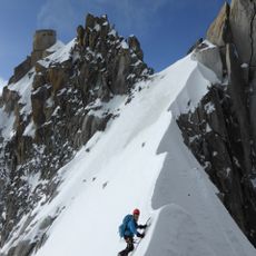
Climbers typically tackle this peak during the summer months when snow and rock conditions are safest for the ascent. Hiring a mountain guide from either valley is recommended, as the routes require technical climbing skills and proper equipment.
The peak marks the line where water flows toward either the Mediterranean or the Adriatic Sea, a watershed divide that creates a natural geographical reference point. Few visitors realize they are standing at this invisible but significant geological boundary when they reach the summit.
The community of curious travelers
AroundUs brings together thousands of curated places, local tips, and hidden gems, enriched daily by 60,000 contributors worldwide.