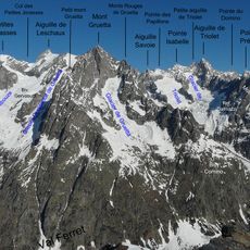
Aiguille de Triolet, Alpine summit in Mont Blanc massif, France and Italy
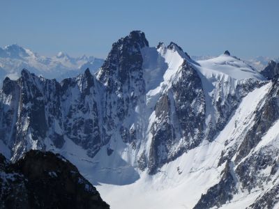
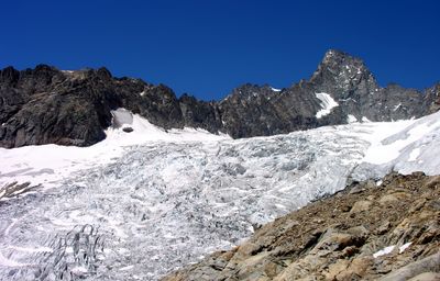
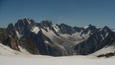
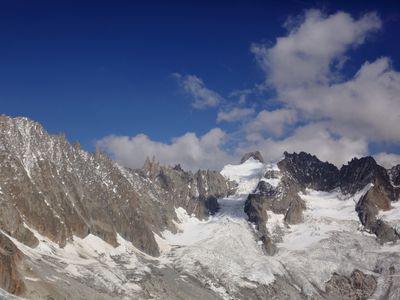
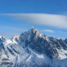
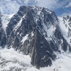
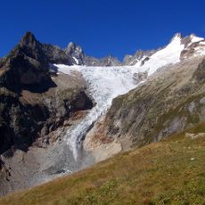
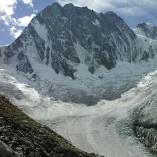
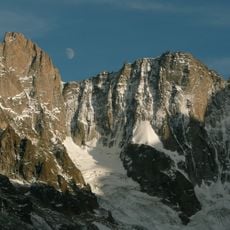
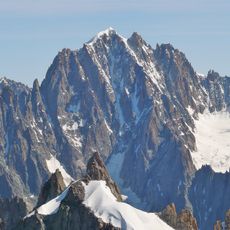
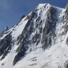
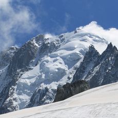
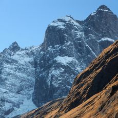
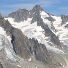
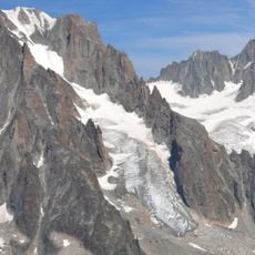
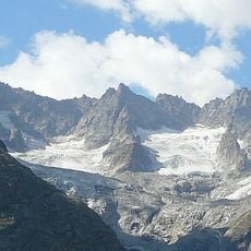
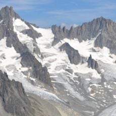
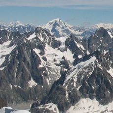
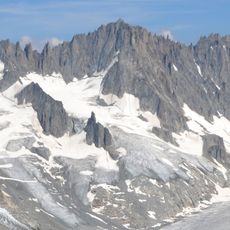
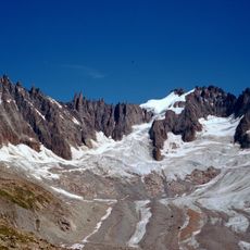
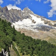
Aiguille de Triolet is an Alpine summit in the Mont Blanc massif that rises to 3,870 meters (12,700 feet) and marks the natural border between France and Italy. The peak features steep faces shaped by glacial activity and stands as a prominent point along the border ridge.
Three mountaineers named Marshall, Almer, and Fischer reached the summit for the first recorded time on August 26, 1874. This early ascent became an important milestone in the development of technical mountaineering in the Mont Blanc range.
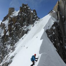
The mountain holds a special place in Alpine climbing culture, where its steep north face draws experienced ice climbers seeking a serious technical test. Climbers who reach the summit often view it as a significant personal accomplishment in their mountaineering journey.
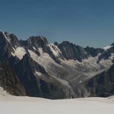
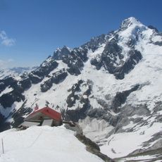
Climbers can approach this summit from either the Refuge d'Argentière on the French side or the Rifugio Dalmazzi on the Italian side, each offering shelter and support for the ascent. Both refuges provide a good base for planning the climb and storing equipment before attempting the technical sections.
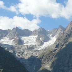
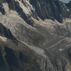
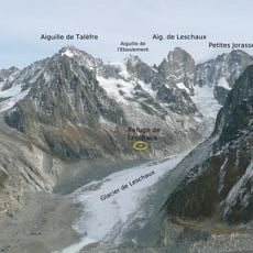
From the summit, four distinct ridges separate multiple glacial basins, including the Argentière Glacier to the north and the Pré de Bar to the south. This arrangement makes the location a key point for understanding how glaciers and valleys connect across the border.
The community of curious travelers
AroundUs brings together thousands of curated places, local tips, and hidden gems, enriched daily by 60,000 contributors worldwide.