Coniston Water, lake in Cumbria, England
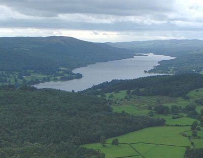
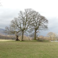
Coniston Water is a lake in England's Lake District that stretches about 5 miles long through a landscape of green fields, woodland, and rocky hills. The water is fed by streams from surrounding mountains and drains into the River Crake at its southern end.
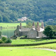
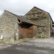
Medieval monks from Furness Abbey used the lake for fishing and farming. During the Industrial Revolution, barges transported copper and slate from nearby mines across the water to trade routes.
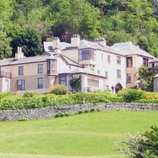
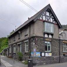
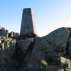
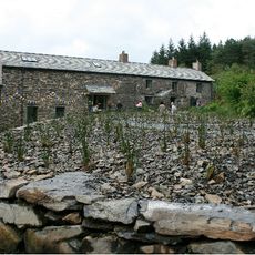
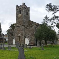
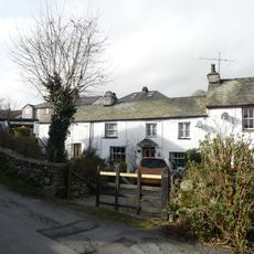
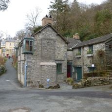
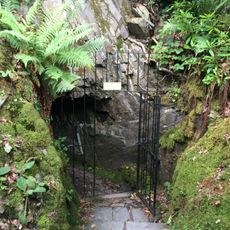
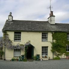
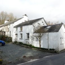
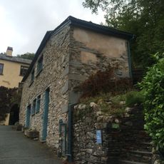
The name comes from Old Norse roots meaning royal settlement. The nearby village of Coniston retains a quiet character with narrow streets, traditional pubs, and local shops where you can sense how visitors and residents value the peaceful, natural environment that defines the area.
The area is easy to navigate with marked walking paths around the lake and access to boat rentals and bike hire. You can also explore by steam gondola or other boat services, which is helpful when weather changes quickly.
The lake sits in the world of children's storytelling, as Peel Island inspired the book Swallows and Amazons and is still visited by kayakers who want to experience the tale. Small islands like Fir Island also serve as quiet wildlife refuges for otters and red squirrels rarely seen by visitors.
Location: Cumbria
Elevation above the sea: 43 m
GPS coordinates: 54.35000,-3.06667
Latest update: January 8, 2026 13:30
The Lake District covers the hills and valleys of Cumbria where lakes sit among mountains. Windermere, the largest, has boats crossing its waters for many years. Derwentwater, near Keswick, attracts walkers who circle its shores on foot. Ullswater offers a more quiet setting, while Buttermere and...
Brantwood
622 m
Ruskin Museum
2.3 km
Coniston Hall
927 m
Carron Crag
2.1 km
Lawson Park
1 km
Church of St Andrew
2.2 km
Memorial cross to John Ruskin approximately 23 metres east of St Andrew's Church
2.2 km
Haws Bank Cottage and adjoining cottage
1.4 km
Coniston War Memorial
2.2 km
Lodge and former stable approximately 70 metres to south of Brantwood, Coniston
570 m
Privy approximately 13 metres to south of Coniston Hall, Coniston
913 m
Two bloomeries, 340m and 570m NNE of Hoathwaite Landing on Coniston Water
455 m
Icehouse approximately 30 metres to north of Brantwood, Coniston
646 m
Barn to north west of Dixon Ground Farmhouse
2.3 kmKnipe Ground
2.5 km
High Bank Ground Farmhouse and barn
1.8 km
Dixon Ground Farmhouse and outbuilding
2.3 km
Bowanstead
1.6 km
Outbuilding approximately 30 metres to south of Brantwood, Coniston
605 mBuilding To West Of Hoathwaite Farmhouse
1.3 kmBee Boles To North East Of High Bank Ground Farmhouse
1.8 kmFormer coach-house and stable approximately 100 metres south of Brantwood, Coniston
542 m
Cottage to rear of Sun Inn Public House
2.3 kmConiston Gifts & Gallery
1.8 kmMidnight Feast
2.4 kmWork of art
2.1 kmWork of art
1.7 kmWork of art, sculpture
2.4 kmVisited this place? Tap the stars to rate it and share your experience / photos with the community! Try now! You can cancel it anytime.
Discover hidden gems everywhere you go!
From secret cafés to breathtaking viewpoints, skip the crowded tourist spots and find places that match your style. Our app makes it easy with voice search, smart filtering, route optimization, and insider tips from travelers worldwide. Download now for the complete mobile experience.
A unique approach to discovering new places❞
— Le Figaro
All the places worth exploring❞
— France Info
A tailor-made excursion in just a few clicks❞
— 20 Minutes