Forest of Bowland, Area of Outstanding Natural Beauty in Lancashire and North Yorkshire, England
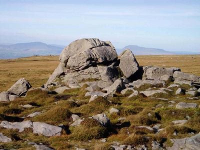
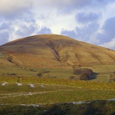
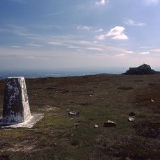
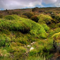
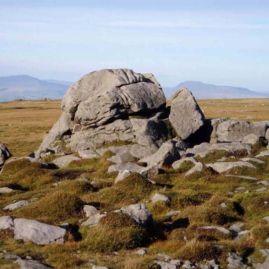
The Forest of Bowland is a designated Area of Outstanding Natural Beauty in North West England, covering gritstone fells, deep valleys and peat moorland. Its landscape features a horseshoe-shaped range of hills, including Ward's Stone at 561 metres (1,841 ft), and is internationally important for heather moorland and rare upland birds.
The Forest of Bowland was established as a royal hunting forest after the Norman Conquest and later became part of the Duchy of Lancaster. It received its designation as an Area of Outstanding Natural Beauty in 1964, recognising its special landscape.
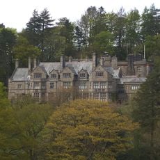
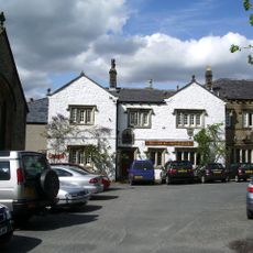
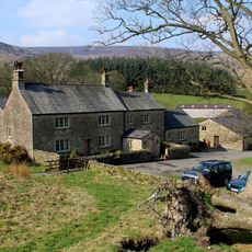
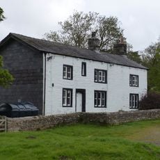
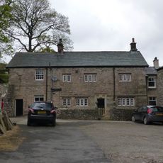
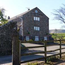
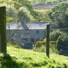
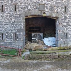
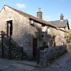
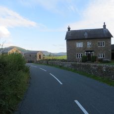
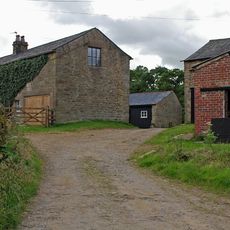
The name Bowland comes from Old Norse words for a bend in the river, reflecting the meandering Hodder. Today, the area is a working landscape where farming and grouse shooting continue, and visitors can see drystone walls and stone farmhouses that shape the countryside.
Visitors can explore the area through a network of public footpaths and quiet lanes, with the Trough of Bowland offering a scenic drive through the hills. It is advisable to check weather conditions before setting out, as the moorland can be exposed and paths may be muddy.
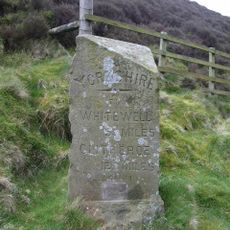
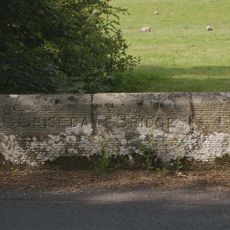
The area contains the geographic centre of Great Britain, near Dunsop Bridge, marked by the Whitendale Hanging Stones. Also, the title of Lord of Bowland, created in 1090, was revived in 2009 after falling into obscurity.
The community of curious travelers
AroundUs brings together thousands of curated places, local tips, and hidden gems, enriched daily by 93,181 contributors worldwide.