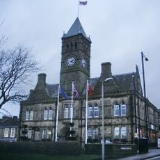
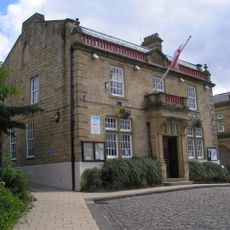
Pendle, Administrative district in Lancashire, England.
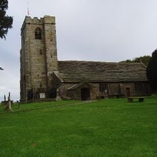
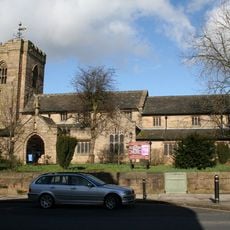
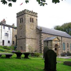
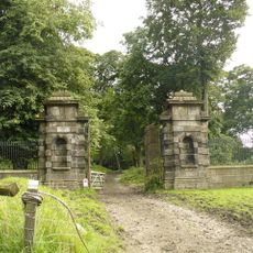
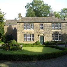
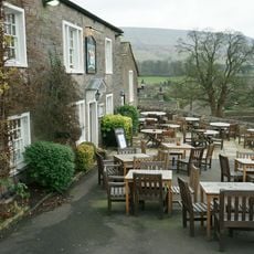
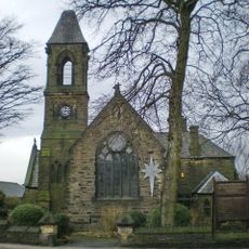
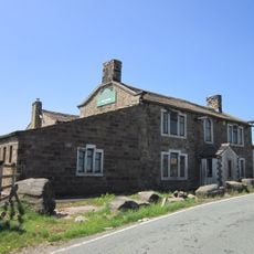
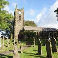
Pendle is an administrative district in northern East Lancashire that combines urban towns with surrounding countryside and rural villages. The area features a varied landscape where built-up centers sit among rolling terrain and green spaces.
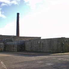
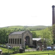
The district was formed in 1974 from the combination of several local authorities and has roots in textile production dating back centuries. The switch from wool to cotton manufacturing happened as new canal transport made the movement of goods easier in the region.
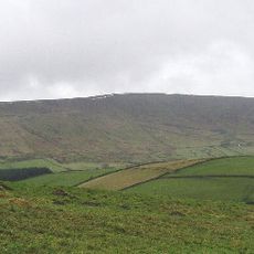
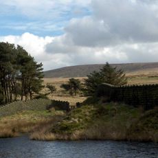
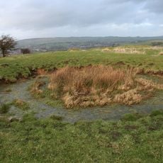
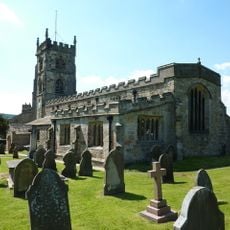
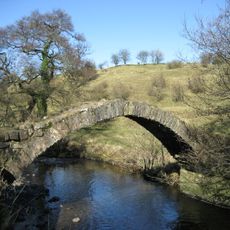
Pendle Hill gives the district its name and remains deeply woven into local identity through centuries of stories and traditions tied to the landscape. Residents and visitors alike feel a strong connection to this natural landmark that sits at the heart of the region's sense of place.
The district is well-served by railway stations and local bus connections linking its various towns and neighborhoods together. Visitors can explore the area on foot or by using public transport to move between the different communities and surrounding countryside.
The district has deep roots in aerospace manufacturing, with major production facilities in Barnoldswick creating components for aircraft used worldwide. This industrial heritage sits alongside the region's older textile traditions, creating an interesting mix of old and new.
The community of curious travelers
AroundUs brings together thousands of curated places, local tips, and hidden gems, enriched daily by 60,000 contributors worldwide.