Enable Location

We need your location to show you interesting places around you

Discover nearby places

Find interesting locations and hidden gems around you

Precise directions

Get accurate directions and distances to places

Your location is never shared with other users. It's only used when you tap the location button.

High Crag

Log in to your account

Start exploring — it's free

Trusted by 61,456 travelers worldwide

Continue with Google
Continue with Apple
or

We will send you a code to connect

By continuing, you accept our Terms and Conditions and our Privacy Policy

Check your inbox

We've sent a pincode in your inbox. Please enter the code below.

High Crag

High Crag, Mountain summit in St John's Castlerigg and Wythburn, England

Description

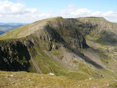
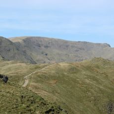
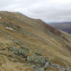
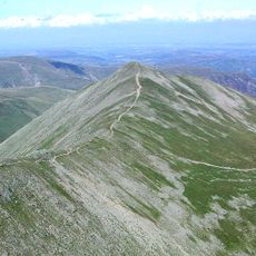
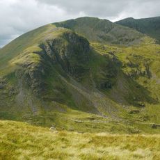
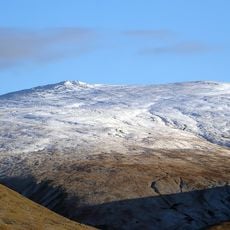
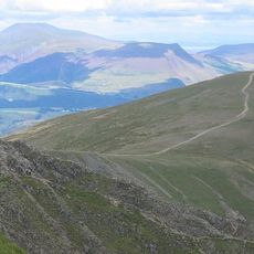
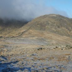
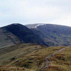
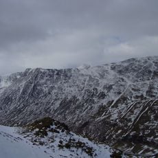
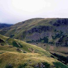
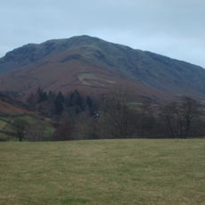
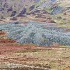
High Crag is a mountain in the Lake District that rises to 884 meters with steep slopes and multiple trails leading to its exposed rocky summit. The routes offer varying difficulty levels and allow different approaches depending on experience and available time.

History

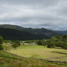
The mountain served as an important navigation point for shepherds since medieval times as they traveled through the challenging terrain of northern England. This historical role made it a recognized landmark in the region for anyone needing to find their way through the hills.

Culture

Local hiking groups regularly organize guided walks to High Crag's summit, teaching participants about the geological formations and native plant species.

Practical

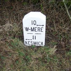
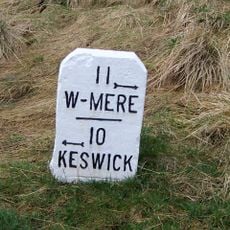
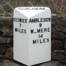
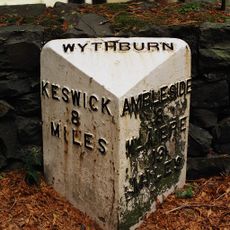
Access is available via marked paths from parking areas near Keswick and Thirlmere. Visitors should expect changeable weather and exposed terrain at the summit, so bringing appropriate gear is essential.

Did you know?

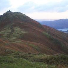
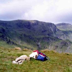
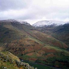
From the summit on clear days, visitors can see both Derwent Water and Thirlmere lakes at the same time, a perspective shared by only a handful of peaks in the area. This simultaneous view of both water bodies makes this location something special among the region's mountain destinations.

Location
Elevation above the sea
884 m
GPS coordinates
54.51403,-3.01585
Latest update
December 14, 2025 18:45

AroundUs brings together thousands of curated places, local tips, and hidden gems, enriched daily by 60,000 contributors worldwide. Discover all places nearby (St John's Castlerigg and Wythburn).

« High Crag - Mountain summit in St John's Castlerigg and Wythburn, England » is provided by Around Us (aroundus.com). Images and texts are derived from Wikimedia project under a Creative Commons license. You are allowed to copy, distribute, and modify copies of this page, under the conditions set by the license, as long as this note is clearly visible.

Discover hidden gems everywhere you go!

From secret cafés to breathtaking viewpoints, skip the crowded tourist spots and find places that match your style. Our app makes it easy with voice search, smart filtering, route optimization, and insider tips from travelers worldwide. Download now for the complete mobile experience.

Around Us App Screenshot

A unique approach to discovering new places

Le Figaro

All the places worth exploring

France Info

A tailor-made excursion in just a few clicks

20 Minutes

Around Us
Travel Guide & Maps
Download

Send to your phone

QR Code
1

Open the camera app on your mobile.

2

Point at the QR code with your camera. A notification will appear.

3

Tap the notification to open the link.