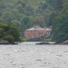
Catstye Cam, Mountain fell in Lake District, England
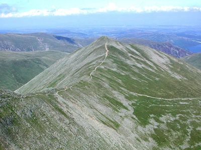
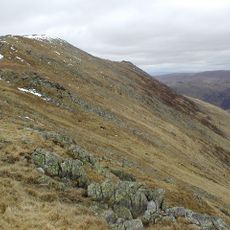
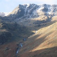
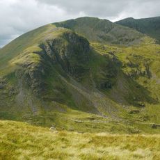
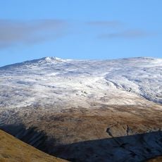
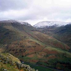
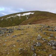
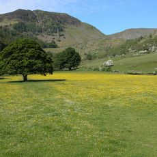
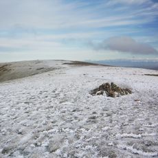
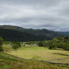
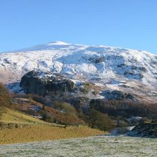
Catstye Cam is a fell in the Lake District, Cumbria, England, rising to around 890 meters and known for its sharp, pyramid-like shape. It sits on the eastern side of the Helvellyn range, clearly visible from the valleys and ridges around it.
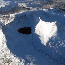
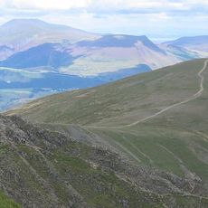
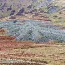
The area around the fell was shaped for centuries by mining, especially through the Greenside Mine nearby, one of the most productive lead and zinc mines in northern England. In the 19th century, water management works were built to support that mine, leaving lasting marks on the surrounding landscape.
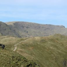
The name "Catstye Cam" likely comes from Old English words meaning something close to "wild cat path" or "steep rocky way". Walkers who reach the top often find themselves almost alone, even on busy days, because most people head straight to the nearby Helvellyn instead.
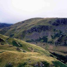
The most common starting point is the village of Glenridding, from where most walkers reach the top in around 2 to 3 hours. The paths are generally well marked, but the upper sections are rocky and require solid footwear and some care.
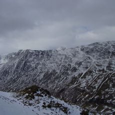
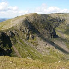
Although Catstye Cam is often seen as a secondary summit next to Helvellyn, its form is sharper and more defined than most other fells nearby. Its northern ridge, known as Swirral Edge, is one of the few genuine scrambling ridges in the Lake District, where walkers must use their hands on the rock.
The community of curious travelers
AroundUs brings together thousands of curated places, local tips, and hidden gems, enriched daily by 60,000 contributors worldwide.