
Coesike East Roman temporary camp
Coesike East Roman temporary camp, archaeological site in Haydon, Northumberland, England, UK
Location: Haydon
Part of: borders of the Roman Empire, Hadrian's Wall
GPS coordinates: 55.02620,-2.28468
Latest update: April 7, 2025 07:32
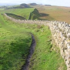
Hadrian's Wall
548 m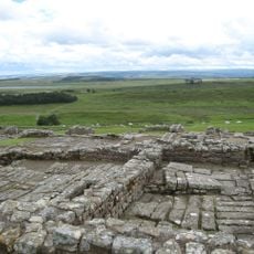
Housesteads Roman Fort
3.3 km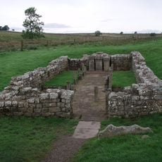
Carrawburgh
4.1 km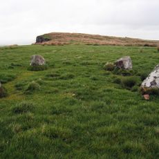
The Goatstones
4.6 km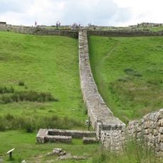
Knag Burn Gateway
3.1 km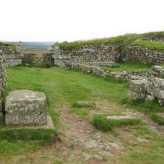
Milecastle 37
3.7 km
Milecastle 35
1.4 km
Milecastle 33
1.3 km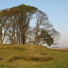
Milecastle 34
340 m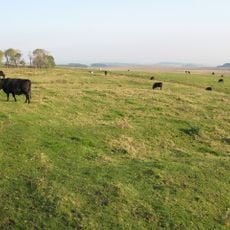
Milecastle 32
2.8 km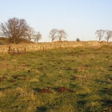
Milecastle 31
3.7 km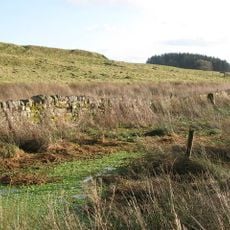
Coventina's Well
4 km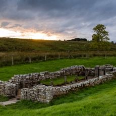
Carrawburgh Roman fort and Hadrian's Wall and vallum
4 km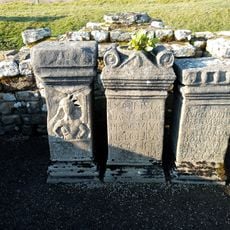
Brocolitia Mithraic temple
4.1 km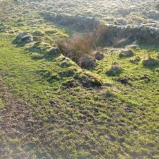
Housesteads Mithraeum
3.3 km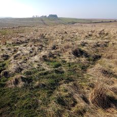
Brocolitia Roman fort
4.1 km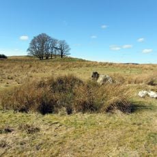
Stone circle, 380m east of King's Crags
1.9 km
Roman quarry inscription on Queen's Crags, 680m south east of East Hotbank
2.5 km
Langley Barony Mines, Haydon Bridge
4.1 km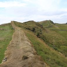
Housesteads fort, section of Wall and vallum between the field boundary west of milecastle 36 and the field boundary west of turret 37a in wall miles 36 and 37
3.5 km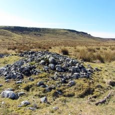
Round cairn, 120m south of King's Crags
2.2 km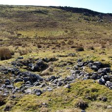
Round cairn, 150m east of Kingscrag Gate
2.4 km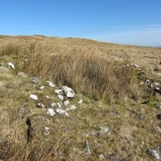
Round cairn, 120m ENE of Kingscrag Gate
2.4 km
Lime Kiln 800 Metres West Of Town Shields Farmhouse
1.3 km
East Stonefields Farmhouse And Attached Farmbuildings And Walls
4.2 km
Bardon Mill
4.2 km
Stone circle, defended settlement, Romano-British farmstead and field system, Roman camp and group of shielings immediately sout
4.4 km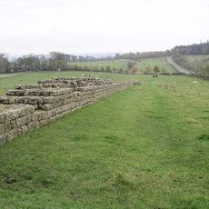
Hadrians Wall, Milecastles and Turrets
323 mReviews
Visited this place? Tap the stars to rate it and share your experience / photos with the community! Try now! You can cancel it anytime.
Discover hidden gems everywhere you go!
From secret cafés to breathtaking viewpoints, skip the crowded tourist spots and find places that match your style. Our app makes it easy with voice search, smart filtering, route optimization, and insider tips from travelers worldwide. Download now for the complete mobile experience.

A unique approach to discovering new places❞
— Le Figaro
All the places worth exploring❞
— France Info
A tailor-made excursion in just a few clicks❞
— 20 Minutes