
Menashe Regional Council, regional council of Israel
Location: Hadera Subdistrict
Inception: 1950
Website: http://menashe.co.il
GPS coordinates: 32.46667,35.01667
Latest update: March 4, 2025 07:02
Ramat HaNadiv
11.3 km
En Esur
1.7 km
Amikam
10.8 km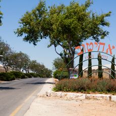
Ahituv
8.9 km
Maor
9.4 km
Ein Iron
1.9 km
Israel Border Police monument
2 km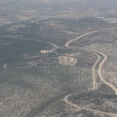
Rihan forest
10.7 km
Nahal memorial
5.4 km
Beit Terezin
11 km
Eco Park Hadera
8.8 km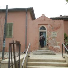
Feinberg House
9.7 km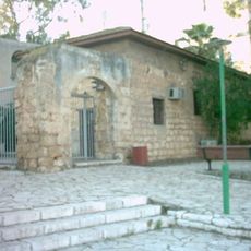
Khan Museum
9.3 km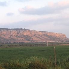
Chotem ha-Karmel
10.5 km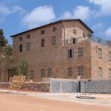
חאן זרעוניה
9.8 km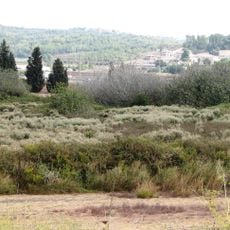
En Arubot Nature Reserve
1.8 km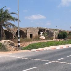
Khirbat Al-Burj
8.6 km
Tel Zeror
6 km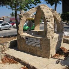
Bir Burin
5.6 km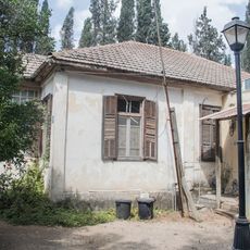
HaRishonim House Binyamina
8.7 km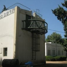
HaNotrim Station Binyamina
8.6 km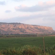
Cukej Chotem
11.4 km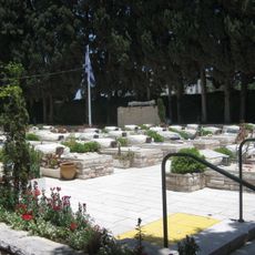
Pardes Hanna Military Cemetery
3.6 km
Barţa‘ah ash Sharqīyah
7.3 km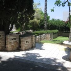
Binyamina Military Cemetery
9.5 km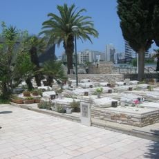
Hadera Military Cemetery
9.2 km
Maghārat al Luḩuf
10.2 km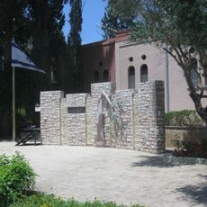
Memorial to Binyamina's War Dead
8.7 kmReviews
Visited this place? Tap the stars to rate it and share your experience / photos with the community! Try now! You can cancel it anytime.
Discover hidden gems everywhere you go!
From secret cafés to breathtaking viewpoints, skip the crowded tourist spots and find places that match your style. Our app makes it easy with voice search, smart filtering, route optimization, and insider tips from travelers worldwide. Download now for the complete mobile experience.

A unique approach to discovering new places❞
— Le Figaro
All the places worth exploring❞
— France Info
A tailor-made excursion in just a few clicks❞
— 20 Minutes