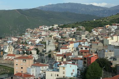
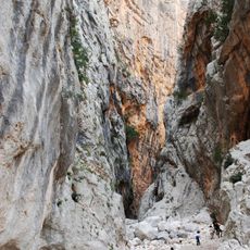
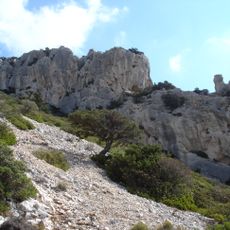
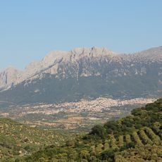
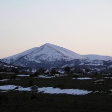
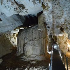
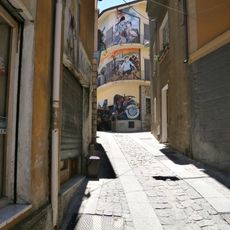
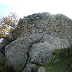
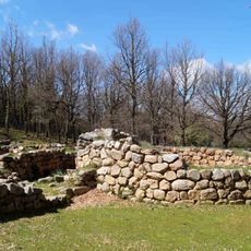
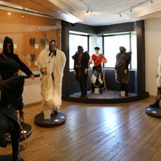
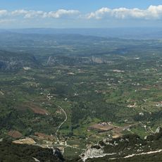
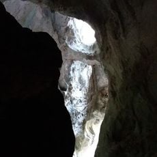
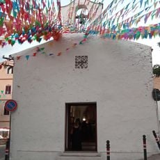
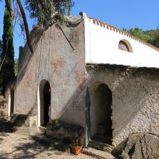
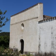
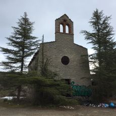
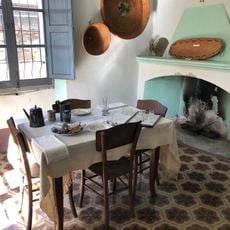
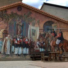
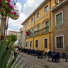
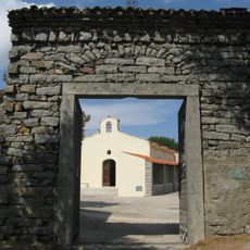
Orgosolo, Italian comune
Location: Province of Nuoro
Capital city: Orgosolo
Elevation above the sea: 620 m
Shares border with: Dorgali, Mamoiada, Oliena, Urzulei, Nuoro, Fonni, Talana, Villagrande Strisaili
Website: http://comune.orgosolo.nu.it
GPS coordinates: 40.20471,9.35263
Latest update: April 1, 2025 19:59
Gola Su Gorropu
12.8 km
Tiscali
12.5 km
Monte Corrasi
7.9 km
Monte Spada
16 km
Corbeddu Cave
12.6 km
Passo Ghenna Silana
14.2 km
Orgosolo’s Murals
60 m
Sanctuary of the Vergine dei Martiri, Fonni
13 km
Nuraghe Tanca Manna
12.1 km
Gremanu nuraghe sacred place
10.8 km
Museo delle Maschere Mediterranee
5.9 km
Nuragic complex of Sa Sedda e Sos Carros
12.8 km
Grotta di Sa Oche
12.7 km
Parco di Sedda Ortai
12.4 km
Nostra Signora 'e su Monte
13 km
Santa Lucia
15.1 km
Sa Perda Pinta
6.7 km
Chiesa di San Lussorio
8.6 km
Nostra Signora della Pietà (Oliena)
15.4 km
San Giovanni
15 km
Pratobello church
7.3 km
Sa Dommo e sos Corraine
52 m
Fonni murals
12.8 km
Town hall of Oliena
8.7 km
Santi Cosma e Damiano
8 km
Tomba dei giganti di Fennau
13.3 km
Madau giant's tombs
9.5 km
Casa cantoniera di Bidiculai
15.6 kmReviews
Visited this place? Tap the stars to rate it and share your experience / photos with the community! Try now! You can cancel it anytime.
Discover hidden gems everywhere you go!
From secret cafés to breathtaking viewpoints, skip the crowded tourist spots and find places that match your style. Our app makes it easy with voice search, smart filtering, route optimization, and insider tips from travelers worldwide. Download now for the complete mobile experience.
A unique approach to discovering new places❞
— Le Figaro
All the places worth exploring❞
— France Info
A tailor-made excursion in just a few clicks❞
— 20 Minutes