Riserva naturale orientata "San Giuliano"

Log in to your account

AroundUs is a community-driven map of interesting places, built by curious explorers like you. It grows with every review, story, and photo you share.
Connect to save your favorite spots, contribute locations, and create personalized routes.
By continuing, you accept our Terms and Conditions and our Privacy Policy

Riserva naturale orientata "San Giuliano"

Add to collection
Map
Suggest a change
Share

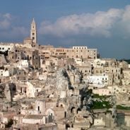
Riserva naturale orientata "San Giuliano", Regional nature reserve near Matera, Italy

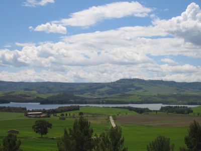
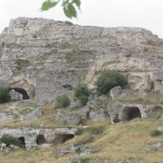
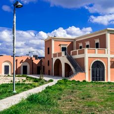
San Giuliano nature reserve is a protected area covering roughly 2,575 hectares spread across three municipalities, with wetlands, woodlands, and cultivated fields as its main habitats. The Bradano River flows through the reserve and a dam creates a body of water that shapes much of the landscape.

The reserve came into being following construction of the San Giuliano Dam between 1950 and 1957, a project supported by the Marshall Plan economic program. This infrastructure transformed the natural conditions of the Bradano Valley and became the foundation for today's protected area.

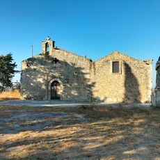
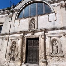
The name honors Saint Julian, a figure rooted in local tradition and devotion. Today, visitors experience how this place remains woven into the fabric of the surrounding communities through its natural features and the way people engage with the landscape.

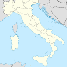
The area is most easily reached via State Road 7 between Matera and Ferrandina; follow this route and look for signs toward the San Giuliano Dam. Bring appropriate outdoor gear when visiting, as conditions vary with the season and terrain can be muddy after rain.

In 2006, researchers discovered a 27-meter whale fossil from the Pleistocene period on the lake shores. This remarkable skeleton is now displayed at the Domenico Ridola Museum in Matera, revealing that marine creatures once inhabited this region long before the modern dam was built.

Location: Miglionico

Location: Matera

Location: Grottole

Address: Contrada Diga di San Giuliano

GPS coordinates: 40.60090,16.54170

Latest update: December 6, 2025 16:04

Natural and historical sites of Basilicata

Basilicata in southern Italy contains cave settlements, medieval castles and nature parks. The region features Roman ruins, karst caves and abandoned villages. The area includes Pollino National Park with rare pine species and historic centers like Matera with its Sassi cave dwellings.

Reviews

Visited this place? Tap the stars to rate it and share your experience / photos with the community! Try now! You can cancel it anytime.

« Riserva naturale orientata "San Giuliano" - Regional nature reserve near Matera, Italy » is provided by Around Us (aroundus.com). Images and texts are derived from Wikimedia project under a Creative Commons license. You are allowed to copy, distribute, and modify copies of this page, under the conditions set by the license, as long as this note is clearly visible.

Discover hidden gems everywhere you go!

From secret cafés to breathtaking viewpoints, skip the crowded tourist spots and find places that match your style. Our app makes it easy with voice search, smart filtering, route optimization, and insider tips from travelers worldwide. Download now for the complete mobile experience.

Around Us App Screenshot

A unique approach to discovering new places

Le Figaro

All the places worth exploring

France Info

A tailor-made excursion in just a few clicks

20 Minutes