Enable Location

We need your location to show you interesting places around you

Discover nearby places

Find interesting locations and hidden gems around you

Precise directions

Get accurate directions and distances to places

Your location is never shared with other users. It's only used when you tap the location button.

Mount Bonoore

Log in to your account

Start exploring — it's free

Trusted by 65,094 travelers worldwide

Continue with Google
Continue with Apple
or

We will send you a code to connect

By continuing, you accept our Terms and Conditions and our Privacy Policy

Check your inbox

We've sent a pincode in your inbox. Please enter the code below.

Mount Bonoore
Discussion Reviews 1 Photos
9.7k Popularity

Mount Bonoore, Mountain summit at Okutama and Hannō, Japan

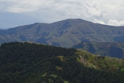
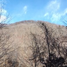
Mount Bonoore is a mountain summit on the border between Tokyo and Saitama Prefecture, shared between the towns of Okutama and Hannō. It sits at a crossroads of several hiking trails that connect to Lake Naguri and nearby peaks such as Mount Iwatakeishi and Mount Takamizu.

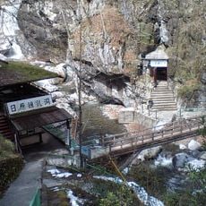
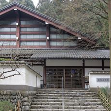
The mountain has been used by locals for centuries, and the trails that exist today grew out of long-standing paths shaped by generations of walkers. The Hakuunsan Torii Kannon pagoda marks a traditional entry point that has guided people into the area for a long time.

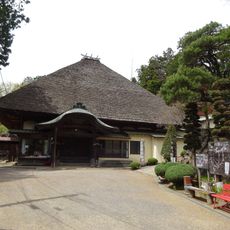
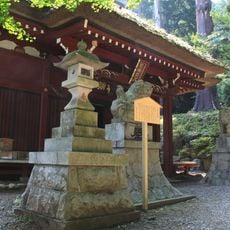
Near the top, there is a Konpira shrine that hikers often stop at on their way up. Shrines like this are common in Japanese mountain areas and are a natural part of the hiking experience for many locals.

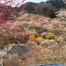
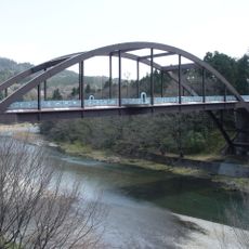
A useful starting point is the bus from Hannō Station to the Sawarabi-no-yu stop, from which the ascent takes around two and a half hours. The trails are clearly marked, making the route straightforward for hikers with some basic experience.

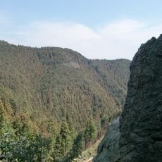
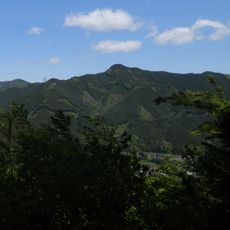
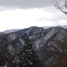
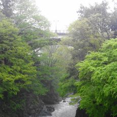
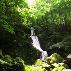
From the top, you can spot the Seibu Dome in Saitama Prefecture, which is an unexpected sight from a natural setting. The ascent also passes through a deep gorge that feels quite different from the open ridge near the top.

The community of curious travelers

AroundUs brings together thousands of curated places, local tips, and hidden gems, enriched daily by 60,000 contributors worldwide.

Start exploring
Location
Location
Elevation above the sea
969 m
GPS coordinates
35.85868,139.15510
Latest update
March 3, 2026 10:12
Reviews
Share your experience

No review yet

Discussions
Start a discussion...

No discussion yet

« Mount Bonoore - Mountain summit at Okutama and Hannō, Japan » is provided by Around Us (aroundus.com). Images and texts are derived from Wikimedia project under a Creative Commons license. You are allowed to copy, distribute, and modify copies of this page, under the conditions set by the license, as long as this note is clearly visible.

Discover hidden gems everywhere you go!

From secret cafés to breathtaking viewpoints, skip the crowded tourist spots and find places that match your style. Our app makes it easy with voice search, smart filtering, route optimization, and insider tips from travelers worldwide. Download now for the complete mobile experience.

Around Us App Screenshot

A unique approach to discovering new places

Le Figaro

All the places worth exploring

France Info

A tailor-made excursion in just a few clicks

20 Minutes

Around Us
Travel Guide & Maps
Download

Send to your phone

QR Code
1

Open the camera app on your mobile.

2

Point at the QR code with your camera. A notification will appear.

3

Tap the notification to open the link.