Enable Location

We need your location to show you interesting places around you

Discover nearby places

Find interesting locations and hidden gems around you

Precise directions

Get accurate directions and distances to places

Your location is never shared with other users. It's only used when you tap the location button.

Mount Ōgasa

Log in to your account

Start exploring — it's free

Trusted by 61,991 travelers worldwide

Continue with Google
Continue with Apple
or

We will send you a code to connect

By continuing, you accept our Terms and Conditions and our Privacy Policy

Check your inbox

We've sent a pincode in your inbox. Please enter the code below.

Mount Ōgasa

Mount Ōgasa, Mountain summit in Hakusan and Nanto, Japan

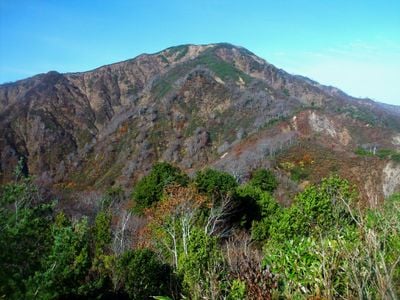
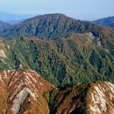
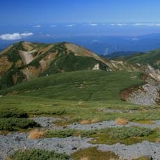
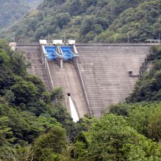
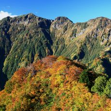
Mount Ōgasa is a summit located between Hakusan and Nanto, rising to approximately 1,800 meters. The slopes feature dense forests that transition to exposed rocky areas at higher elevations.

The mountain formed through geological processes millions of years ago and became a natural boundary between regions. This role as a dividing landmark shaped how local areas developed and were defined over time.

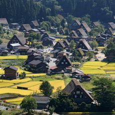
The mountain holds meaning in local festivals that mark the seasons, drawing communities together for celebrations tied to changing weather and natural cycles.

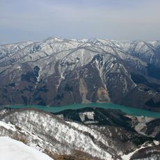
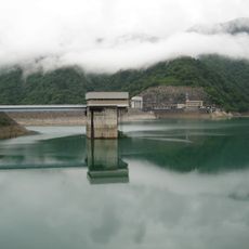
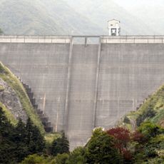
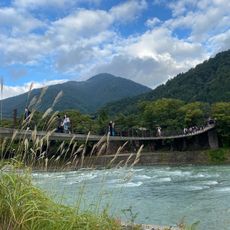
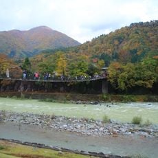
Hiking trails to the summit are open from spring through fall, with parking areas and rest stops positioned along the main routes. Visitors should plan around seasonal weather conditions and come prepared for changing conditions at higher elevations.

The mountain's distinctive cone shape resembles a traditional Japanese amigasa hat, which inspired its name and remains recognizable from surrounding areas. This memorable outline made it easy for local people to use as a landmark for generations.

The community of curious travelers

AroundUs brings together thousands of curated places, local tips, and hidden gems, enriched daily by 60,000 contributors worldwide.

Start exploring
Location
Location
Elevation above the sea
1,821.8 m
GPS coordinates
36.32039,136.78951
Latest update
December 12, 2025 12:06
« Mount Ōgasa - Mountain summit in Hakusan and Nanto, Japan » is provided by Around Us (aroundus.com). Images and texts are derived from Wikimedia project under a Creative Commons license. You are allowed to copy, distribute, and modify copies of this page, under the conditions set by the license, as long as this note is clearly visible.

Discover hidden gems everywhere you go!

From secret cafés to breathtaking viewpoints, skip the crowded tourist spots and find places that match your style. Our app makes it easy with voice search, smart filtering, route optimization, and insider tips from travelers worldwide. Download now for the complete mobile experience.

Around Us App Screenshot

A unique approach to discovering new places

Le Figaro

All the places worth exploring

France Info

A tailor-made excursion in just a few clicks

20 Minutes

Around Us
Travel Guide & Maps
Download

Send to your phone

QR Code
1

Open the camera app on your mobile.

2

Point at the QR code with your camera. A notification will appear.

3

Tap the notification to open the link.