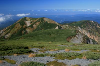
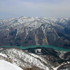
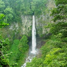
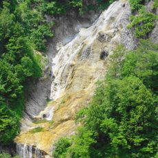
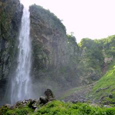
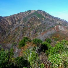
Mount Nanakura, Mountain summit in Hakusan, Japan.
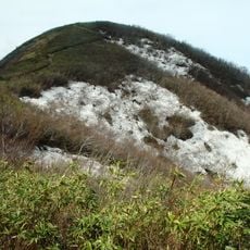
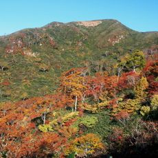
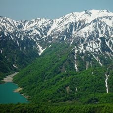
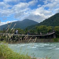
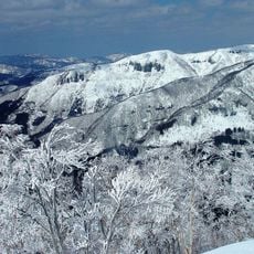
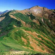
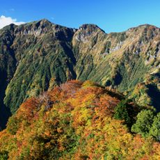
Mount Nanakura reaches an elevation of about 2,500 meters and sits within Hakusan National Park surrounded by steep terrain and thick forests. The landscape changes noticeably as you climb, with different vegetation zones appearing at various heights.
Buddhist monks began exploring the Hakusan region during the 8th century and established routes that included this mountain. Those ancient pathways developed into pilgrimage routes that shaped how people moved through the area for centuries afterward.
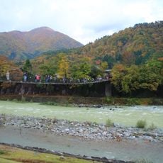
The mountain remains a place where visitors can connect with nature through walking and spending time in the high peaks. Local communities have long integrated these landscapes into their relationship with the environment and seasons.
The best time to climb is from May to October when conditions are safer and the trails are well-maintained. Starting early in the day gives you good light and allows time to descend before evening, which is important for your safety.
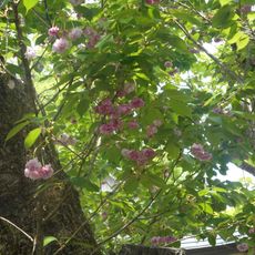
The peak supports rare alpine flowers like the chocolate lily and a type of primrose that thrive at high altitude. These plants grow naturally in just a few places and are part of what makes the mountain botanically special.
The community of curious travelers
AroundUs brings together thousands of curated places, local tips, and hidden gems, enriched daily by 60,000 contributors worldwide.