Enable Location

We need your location to show you interesting places around you

Discover nearby places

Find interesting locations and hidden gems around you

Precise directions

Get accurate directions and distances to places

Your location is never shared with other users. It's only used when you tap the location button.

Miboro Dam

Log in to your account

Start exploring — it's free

Trusted by 62,589 travelers worldwide

Continue with Google
Continue with Apple
or

We will send you a code to connect

By continuing, you accept our Terms and Conditions and our Privacy Policy

Check your inbox

We've sent a pincode in your inbox. Please enter the code below.

Miboro Dam

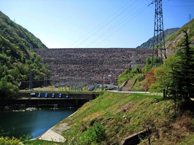
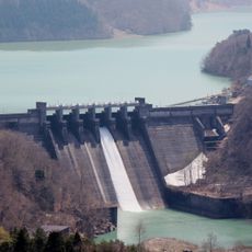
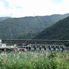
Miboro Dam, Rock-fill dam in Shirakawa, Japan.

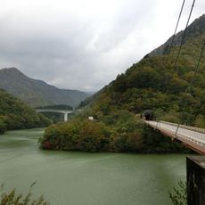
The Miboro Dam stretches 405 meters (1,329 feet) across the Shō River and rises 131 meters (430 feet) high. The structure uses three different spillway systems to manage the water level in the large mountain lake.

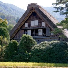
Between 1957 and 1961, the dam was built, leading to the relocation of 1,200 people and the loss of over 200 traditional houses. The project fundamentally changed the landscape and made several old settlements permanently uninhabitable.

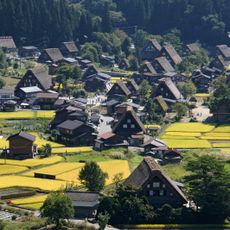
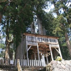
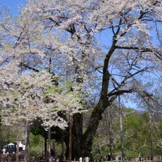
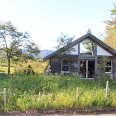
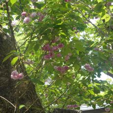
The name Miboro comes from the village that disappeared beneath the reservoir when the lake formed. The two cherry trees from the local shrine now grow in Shirakawa-go, keeping the memory of that former life alive.

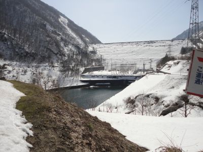
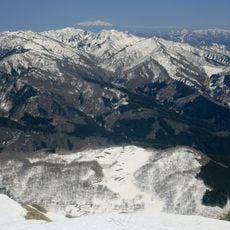
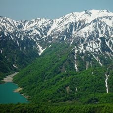
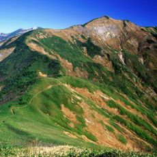
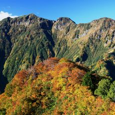
The dam sits along a mountain road between steep slopes, offering views across the reservoir and surrounding forest. Winter snow can make access more challenging, while autumn and spring bring calmer conditions.

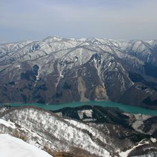
The reservoir holds 370 million cubic meters of water, making it the uppermost of nine dams along the Shō River. Two Francis turbines at the facility generate 256 megawatts of electricity for the surrounding regions.

The community of curious travelers

AroundUs brings together thousands of curated places, local tips, and hidden gems, enriched daily by 60,000 contributors worldwide.

Start exploring
Location
Location
Inception
1961
Height
131 m
GPS coordinates
36.13825,136.91081
Latest update
December 17, 2025 08:51
« Miboro Dam - Rock-fill dam in Shirakawa, Japan » is provided by Around Us (aroundus.com). Images and texts are derived from Wikimedia project under a Creative Commons license. You are allowed to copy, distribute, and modify copies of this page, under the conditions set by the license, as long as this note is clearly visible.

Discover hidden gems everywhere you go!

From secret cafés to breathtaking viewpoints, skip the crowded tourist spots and find places that match your style. Our app makes it easy with voice search, smart filtering, route optimization, and insider tips from travelers worldwide. Download now for the complete mobile experience.

Around Us App Screenshot

A unique approach to discovering new places

Le Figaro

All the places worth exploring

France Info

A tailor-made excursion in just a few clicks

20 Minutes

Around Us
Travel Guide & Maps
Download

Send to your phone

QR Code
1

Open the camera app on your mobile.

2

Point at the QR code with your camera. A notification will appear.

3

Tap the notification to open the link.