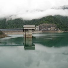
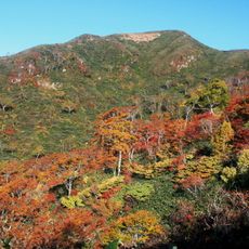
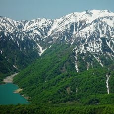
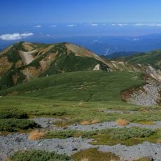
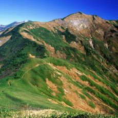
Mount Toritate, Mountain summit in Ishikawa Prefecture, Japan.
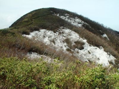
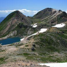
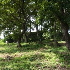
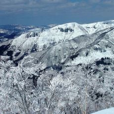
Mount Toritate rises to approximately 1,300 meters and is covered by dense forests crossed by multiple hiking trails. The mountain is part of the Ryohaku range and offers trails of varying difficulty for hikers of all skill levels.
The mountain marked the geographical boundary between Ishikawa and Fukui prefectures for centuries, shaping regional development. This border position influenced how communities on both sides developed and interacted with each other over time.
Local communities gather at the summit during seasonal transitions to observe natural cycles rooted in traditional beliefs. These gatherings form an important part of how residents maintain their connection to the mountain throughout the year.
The mountain is accessible via Route 157, which has parking areas and clearly marked trails for different skill levels. Visitors can choose their hiking route based on their experience and physical ability, with signage showing difficulty ratings throughout.
The mountain contains geological formations that help researchers study the tectonic movements shaping the Japanese archipelago. These rock patterns reveal how the islands formed and continue to shift over geological time scales.
The community of curious travelers
AroundUs brings together thousands of curated places, local tips, and hidden gems, enriched daily by 60,000 contributors worldwide.