
玉縄城, 福島県大沼郡金山町にあった城
Location: Kaneyama
Inception: 1544
Website: https://www.town.kaneyama.fukushima.jp/site/kanko/20120724-03.html
Address: 福島県大沼郡金山町大字川口字上岩下 968-0015 968-0015
Website: https://town.kaneyama.fukushima.jp/site/kanko/20120724-03.html
GPS coordinates: 37.45069,139.51758
Latest update: April 18, 2025 14:41
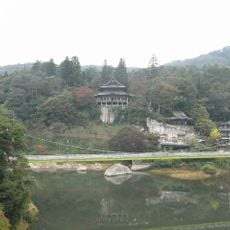
円蔵寺
20.5 km
No. 1 Tadamigawa Bridge
14.1 km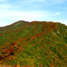
Mount Mikagura
11.3 km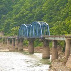
第八只見川橋梁
16.2 km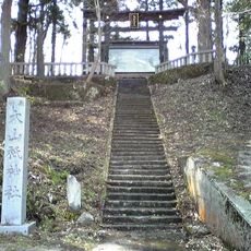
Ōyamazumi-jinja
12.3 km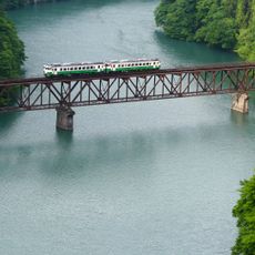
No. 3 Tadamigawa Bridge
8.7 km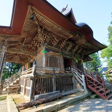
如法寺
17.7 km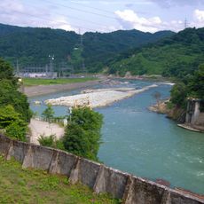
第六只見川橋樑
2.2 km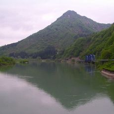
蒲生岳
17.5 km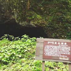
Muroya Cave
17.1 km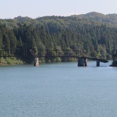
舊柴崎橋
22.4 km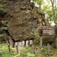
Kosegasawa Cave
18.6 km
第四只見川橋梁
4.8 km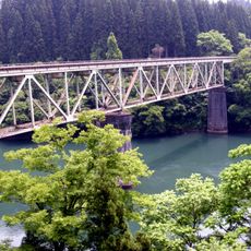
No. 2 Tadamigawa Bridge
12.8 km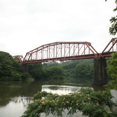
釜之脇橋梁
24.4 km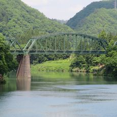
阿賀野川德澤橋樑
25 km
大谷川橋梁 (只見線)
11.9 km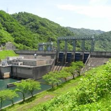
Taki Dam
13.8 km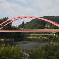
柳津橋
20.3 km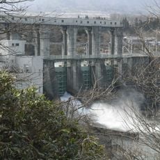
Katakado Dam
25.1 km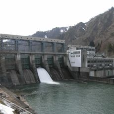
Uwada Dam
4 km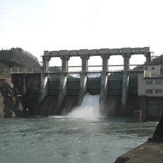
Yanaizu Dam
18.4 km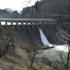
Miyashita Dam
10 km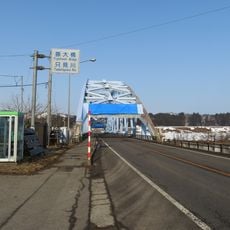
藤大橋
23.9 km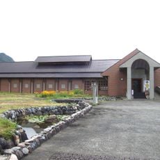
Tadami Museum of Folklore and History
16.9 km
三島大橋
11.9 km
高清水橋
10.8 km
水沼橋
5.1 kmReviews
Visited this place? Tap the stars to rate it and share your experience / photos with the community! Try now! You can cancel it anytime.
Discover hidden gems everywhere you go!
From secret cafés to breathtaking viewpoints, skip the crowded tourist spots and find places that match your style. Our app makes it easy with voice search, smart filtering, route optimization, and insider tips from travelers worldwide. Download now for the complete mobile experience.

A unique approach to discovering new places❞
— Le Figaro
All the places worth exploring❞
— France Info
A tailor-made excursion in just a few clicks❞
— 20 Minutes